I left town around two in the afternoon with the camera and the drone, two bottles of water that lost their cool quickly, and a loose plan to walk a circle that the locals had drawn for me with the easy confidence of people who do this on weekends. Ten kilometers on the map, five hundred and fifty meters of climbing, hot in the way that this latitude is hot when the breeze drops. The first stretch is forest, the kind of botanical mix you do not see all in one place very often. Pomelo, avocado, pine, coconut, all sharing the same understory and getting along about as well as that sentence suggests.
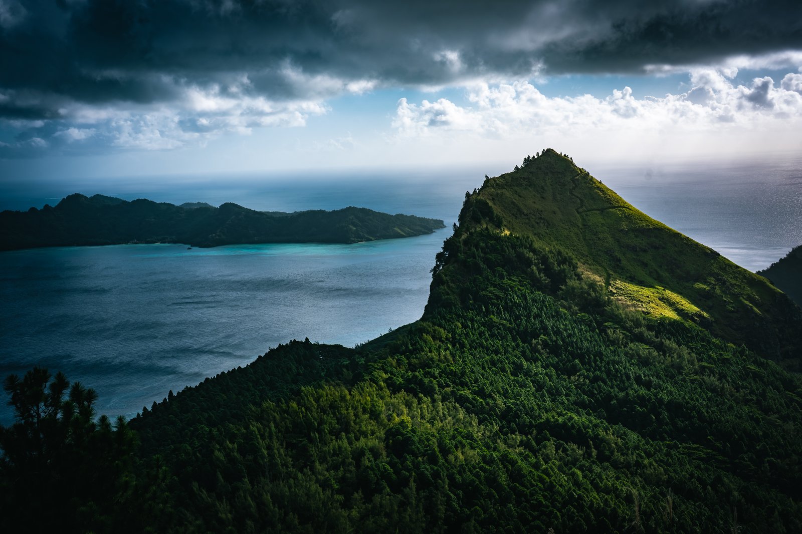
The trail steepens early, and not slowly. There are stretches where the route is steep enough that someone has bolted hand lines into the rock face, which sounds ominous but is actually a courtesy, and which I gratefully used both as climbing aids and as proof that other people had been talked into doing this before me. The top of Mt Aurotini is the kind of place that makes the climb a bargain, the lagoon laid out below in three different shades of impossible blue, the line of yachts at anchor looking, from up there, like a polite arrangement of small details. I put the drone up, took my photos, and then sat for the minute or two you owe a summit before getting on with the question of how to get down.
The way down runs across a saddle between Aurotini and the next peak over, Mokoto. From the top the saddle looks like a tidy connector. From the top of the chute on its near side it looks like something else entirely, and is the reason there is a fixed rope system in place, which turns the descent into something between a hike and a controlled lower. It is useful, not subtle, and I was glad of it. By the time my feet were back on a dirt road, the light was already going in the fast tropical way that always catches you out, even when you should have been counting daylight more carefully than you were.
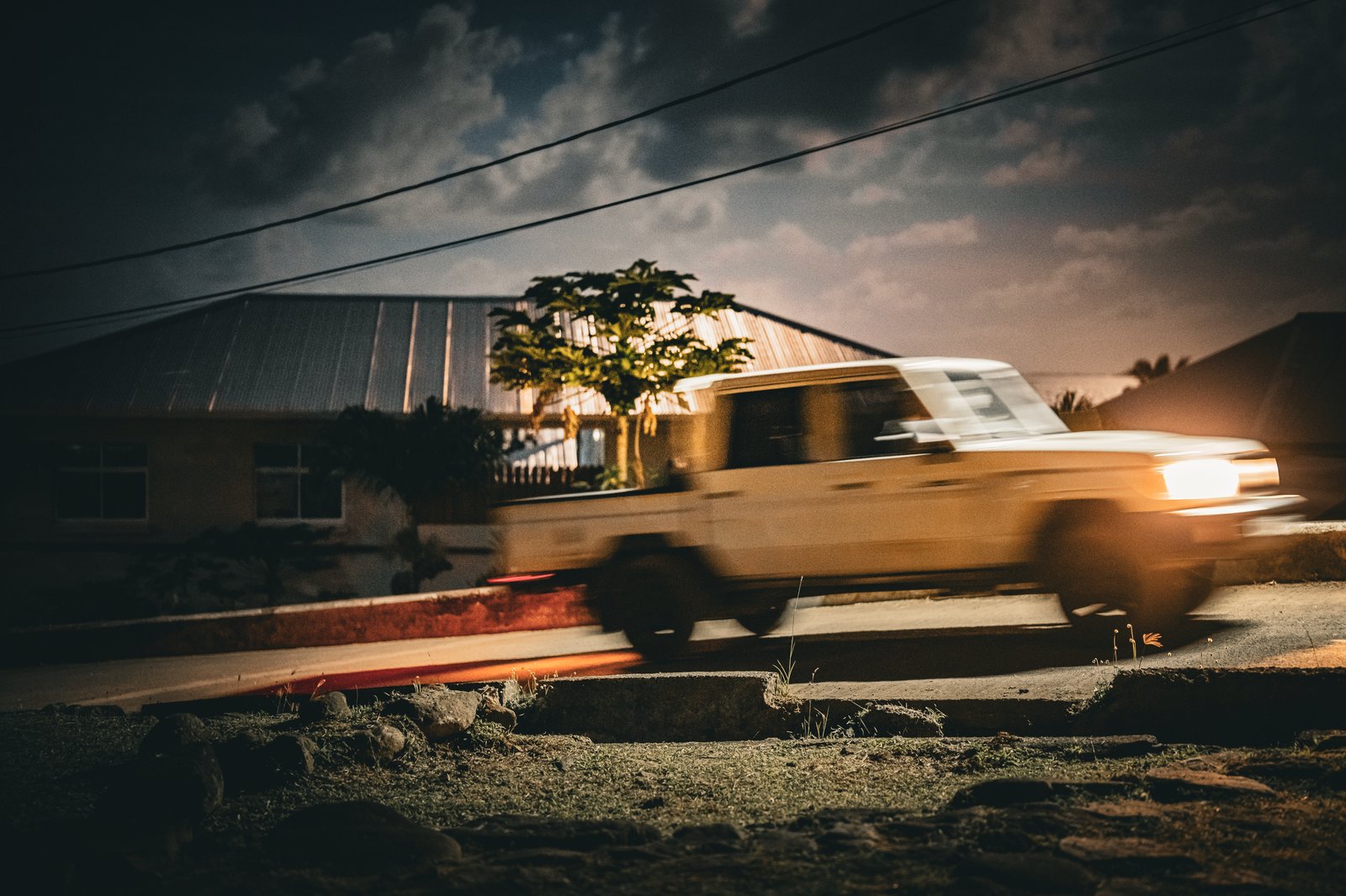
The last two or three kilometers, which I had vaguely planned to walk in daylight, became a night-shooting session by accident. Storm light over a tin roof, a banana palm holding up its end. A truck under a solar street lamp with a chair set out next to it like the road was hosting a small private party. The trick on the home stretch is the loose dogs who appoint themselves the security detail of every farm along the way. The trick within the trick, which I learned today, is to make friends with one of them as fast as you can. Once you do, he will escort you the rest of the way through his colleagues' jurisdictions, and they will pretend not to notice. I got back into town with sore knees, a full memory card, and a new fan club of one. By any reasonable measure, this qualifies as a hike of many things.
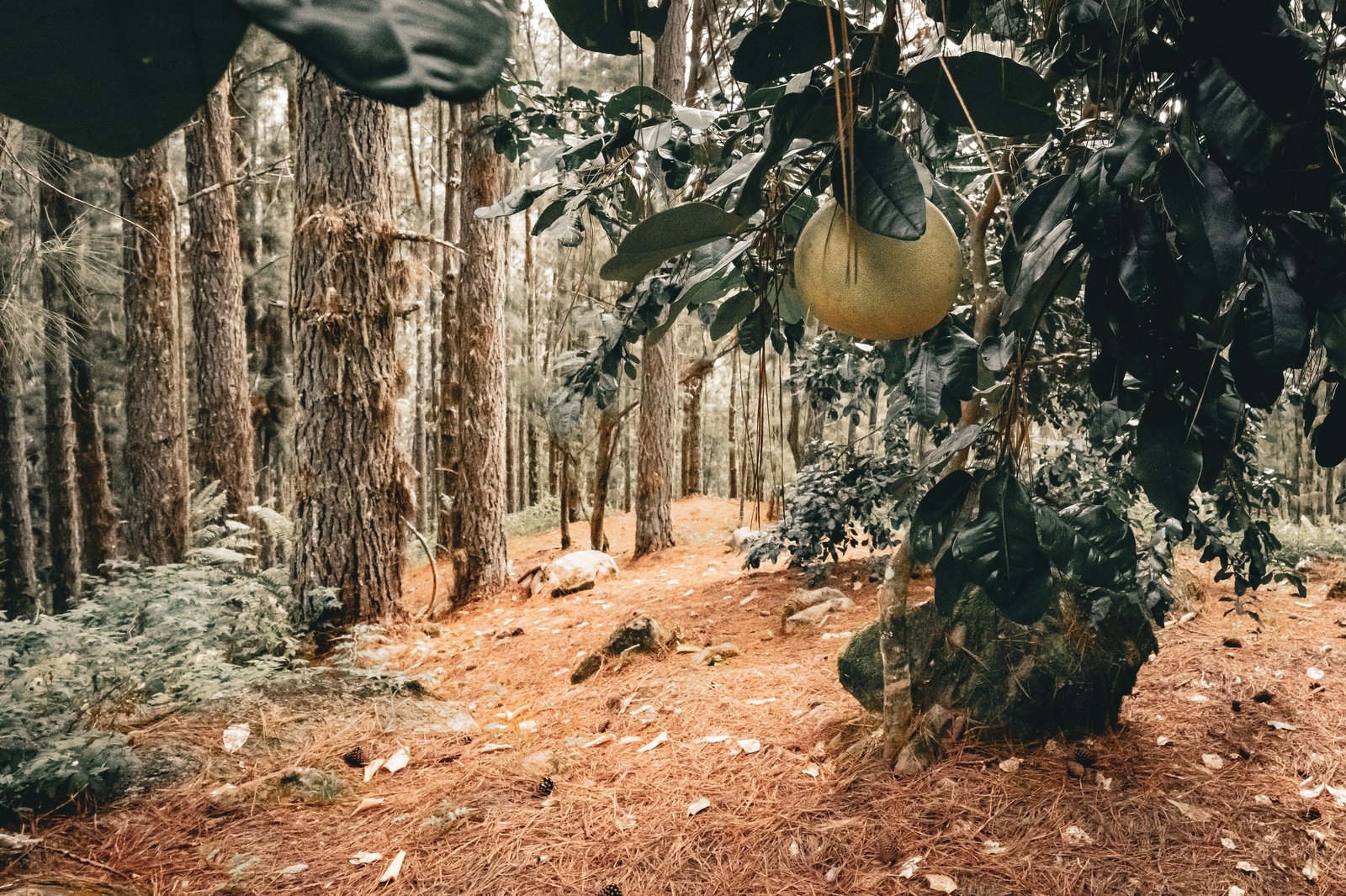
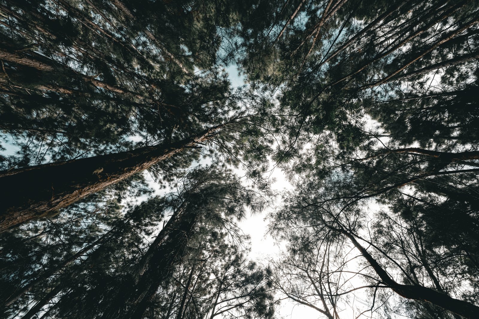
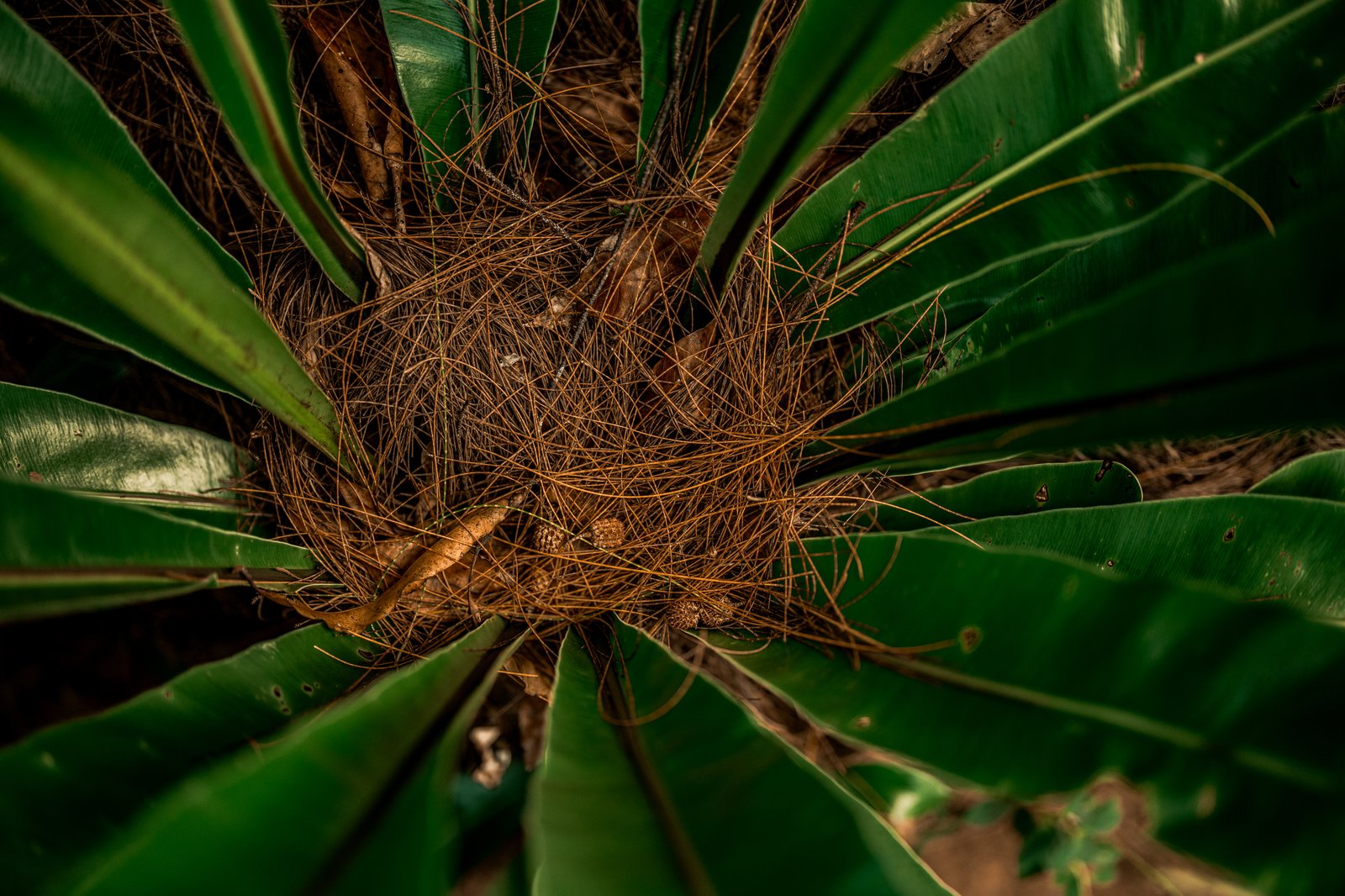
Left: pine forest with a pomelo for scale. Right, top: looking up through the canopy. Right, bottom: pandanus from above.
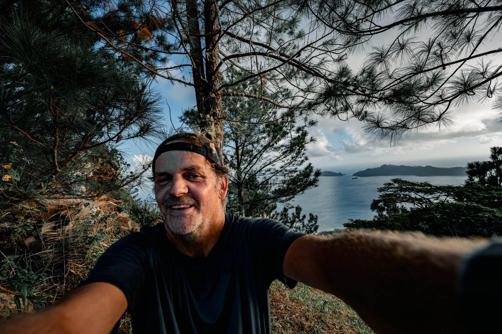
Left: the ridge between Aurotini and Mokoto. Right, top: Mokoto across the saddle, figures on the summit. Right, bottom: the obligatory summit selfie.
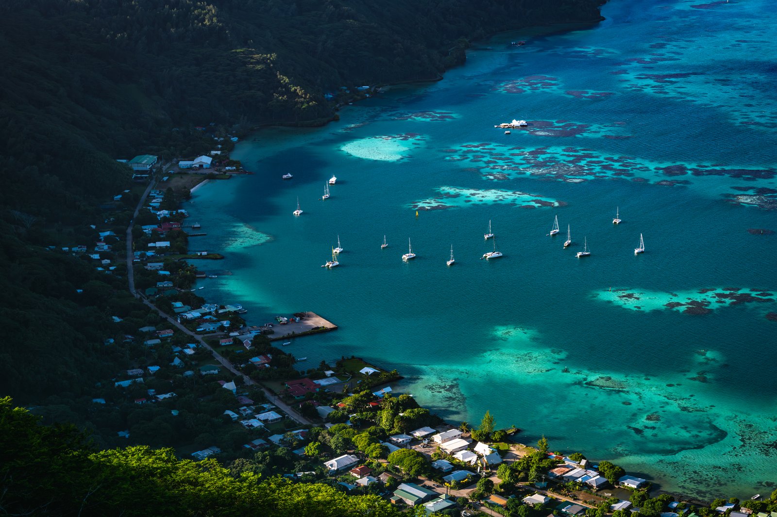
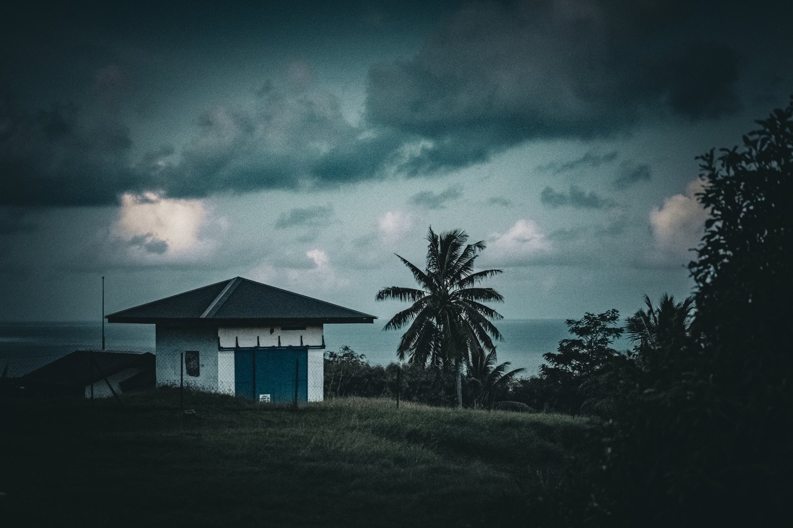
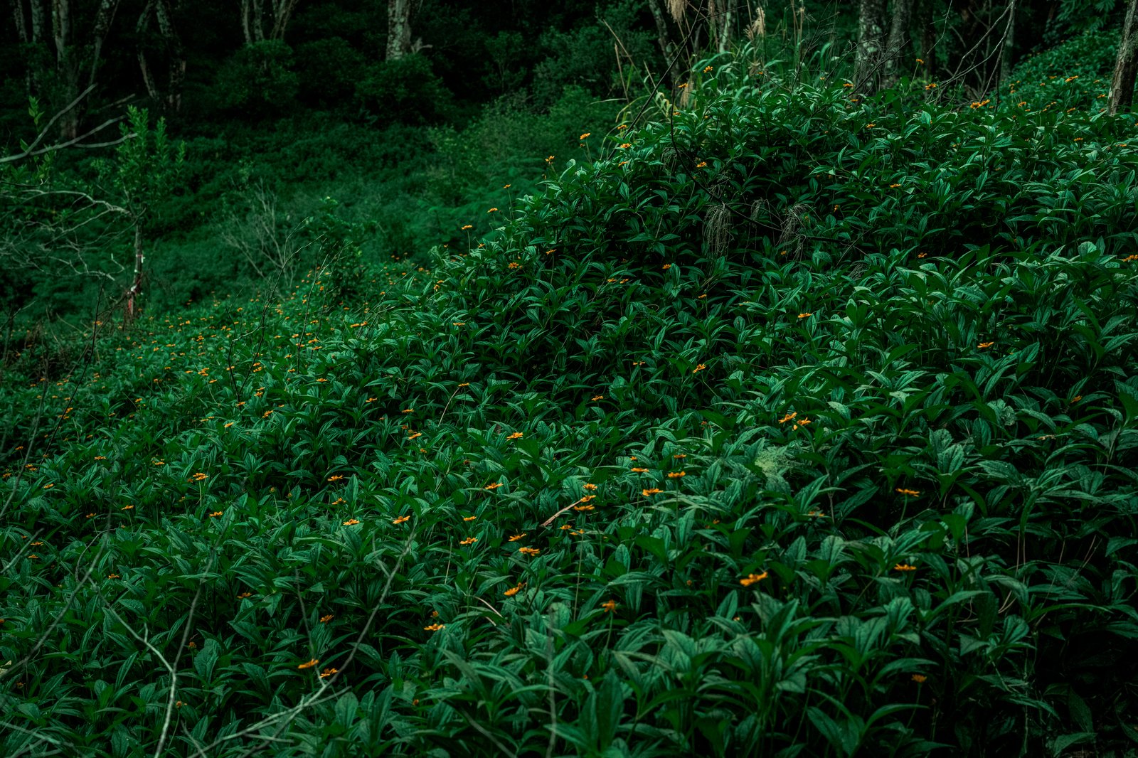
Left: looking down on Rikitea and the line of yachts at anchor. Right, top: a white shelter under steel-blue weather. Right, bottom: an understory plant whose name I do not know yet.
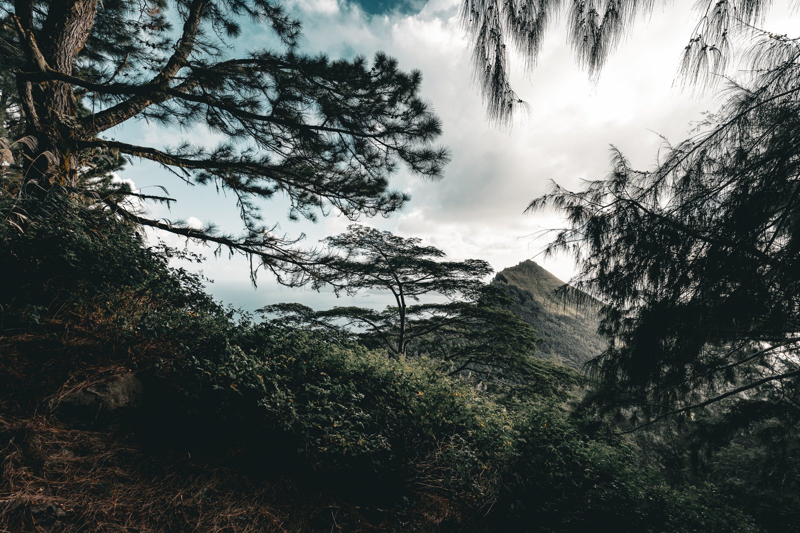
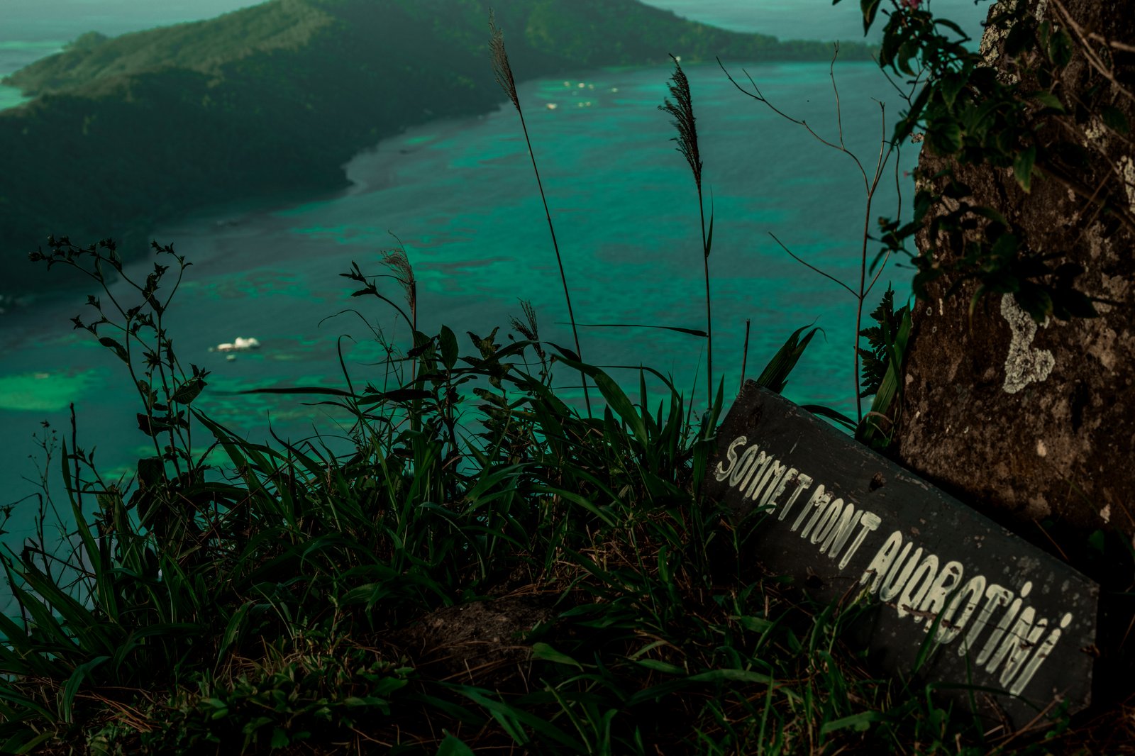
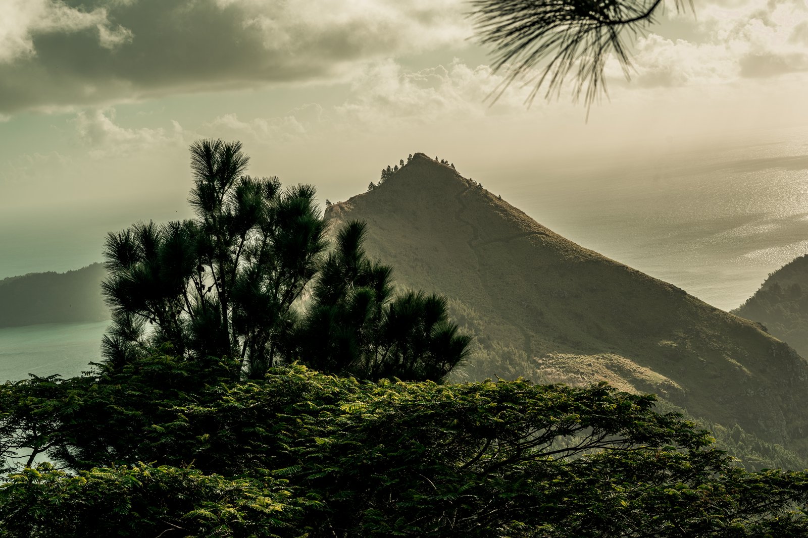
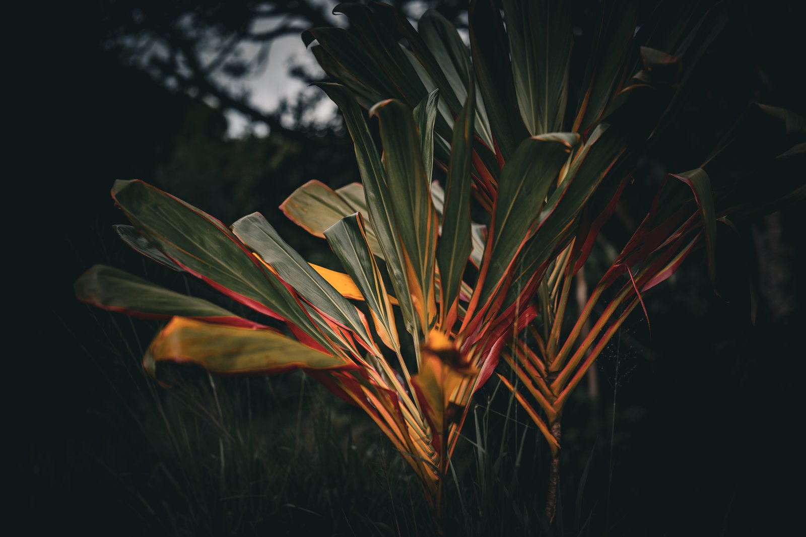
Left: peaks framed through pine on the descent. Right, top: the Sommet Mont Aurotini sign with the lagoon below. Right, bottom: wild green and small orange in the late light.
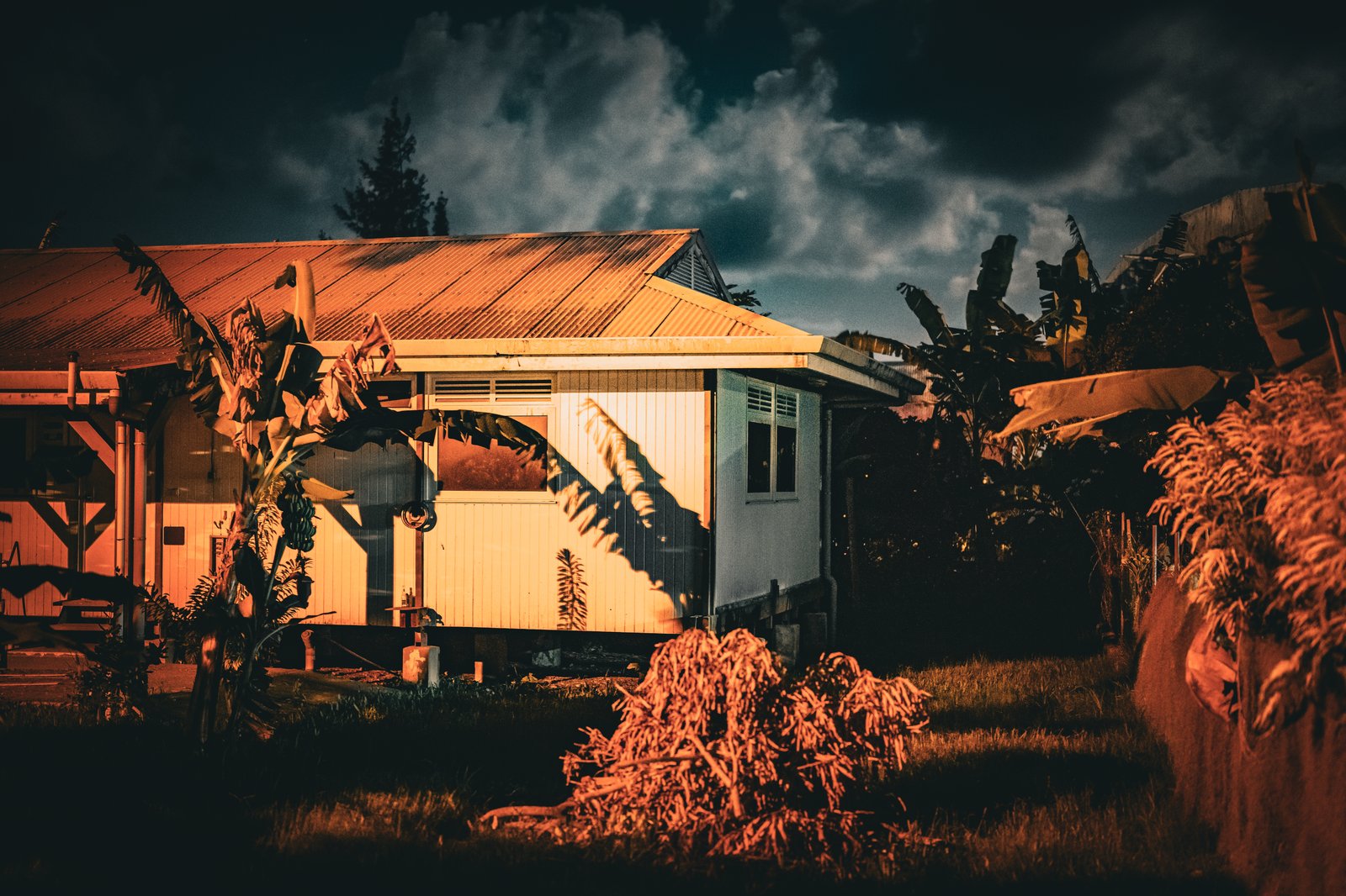
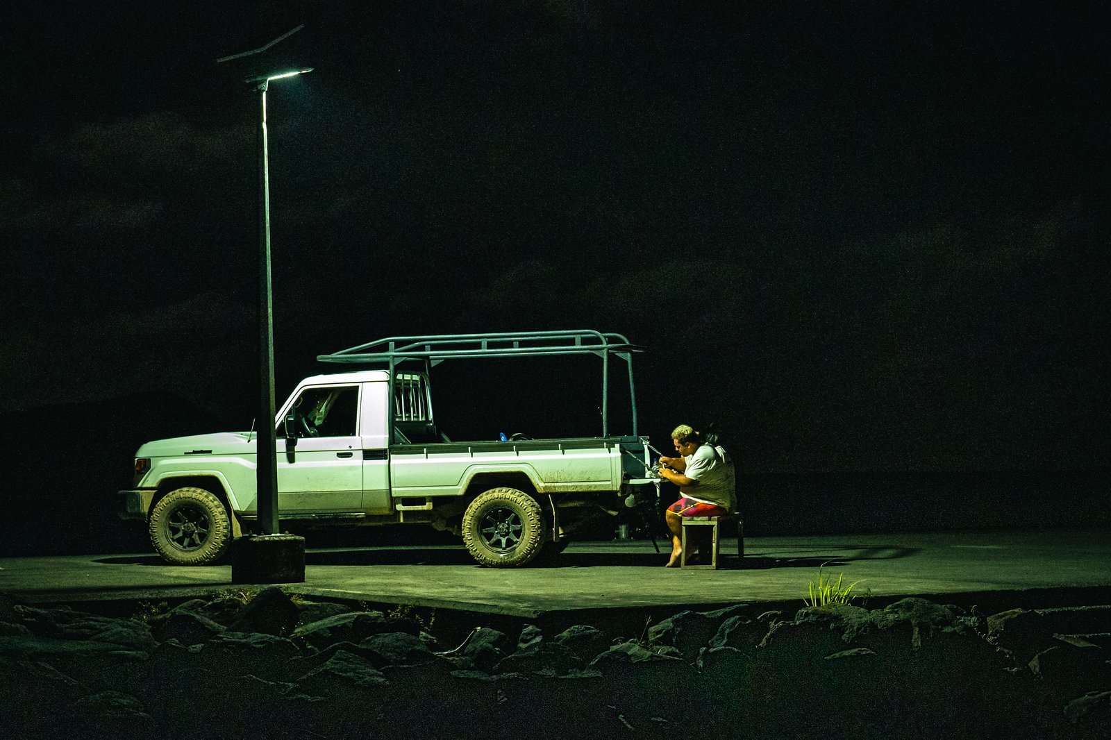
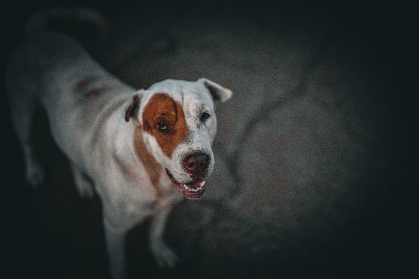
Left: tin roof and a banana palm in storm light. Right, top: a truck and a chair under a solar street lamp. Right, bottom: the escort, who came with the home stretch and refused to negotiate.
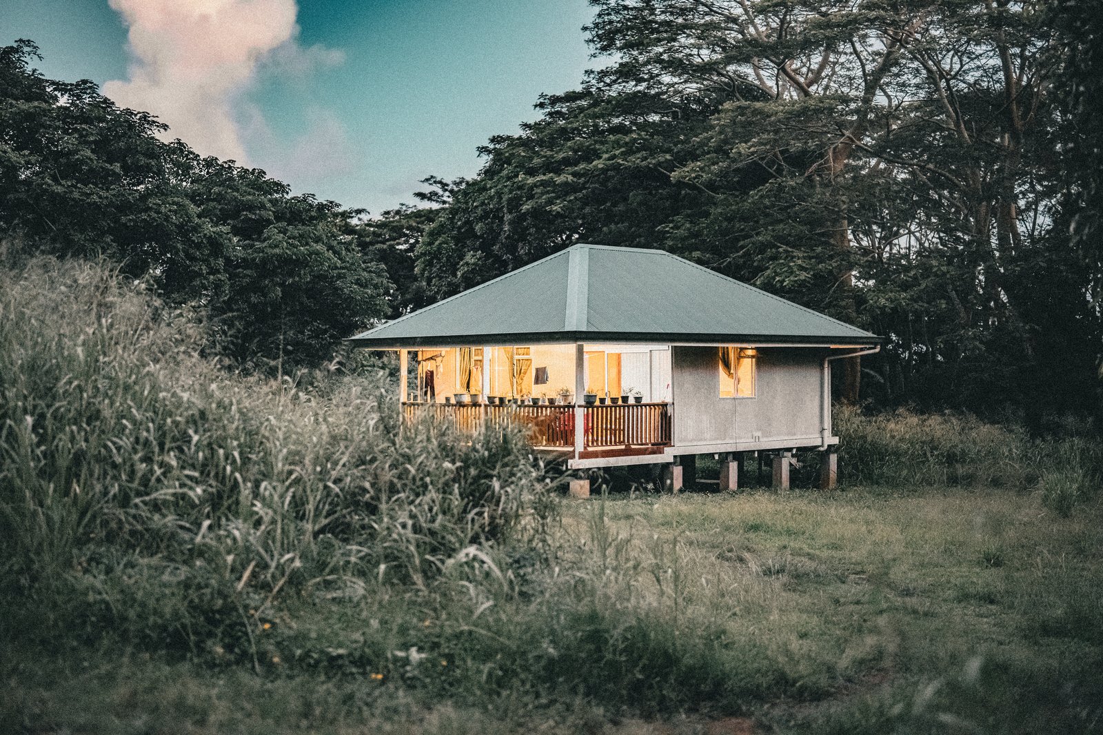
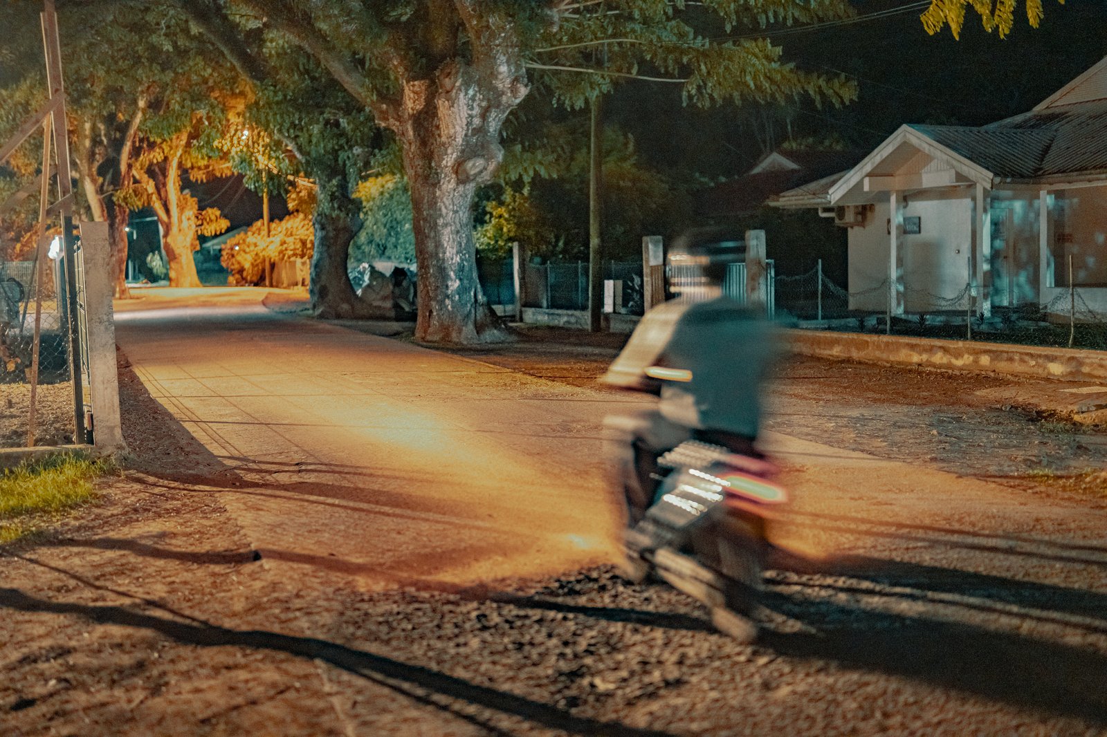
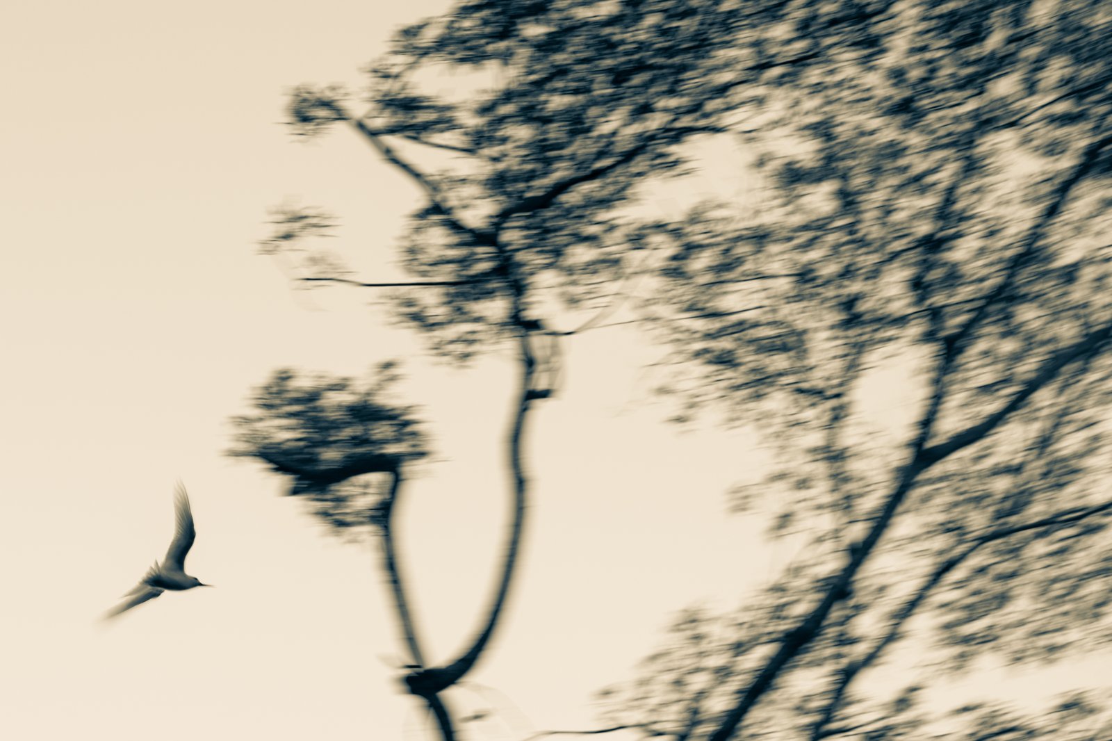
Left: a cottage in tall grass with the porch lights already on. Right, top: a motorcycle going past in long-exposure blur. Right, bottom: a bird leaving a tree, in soft sepia.