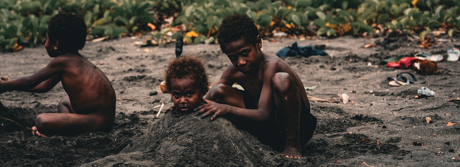
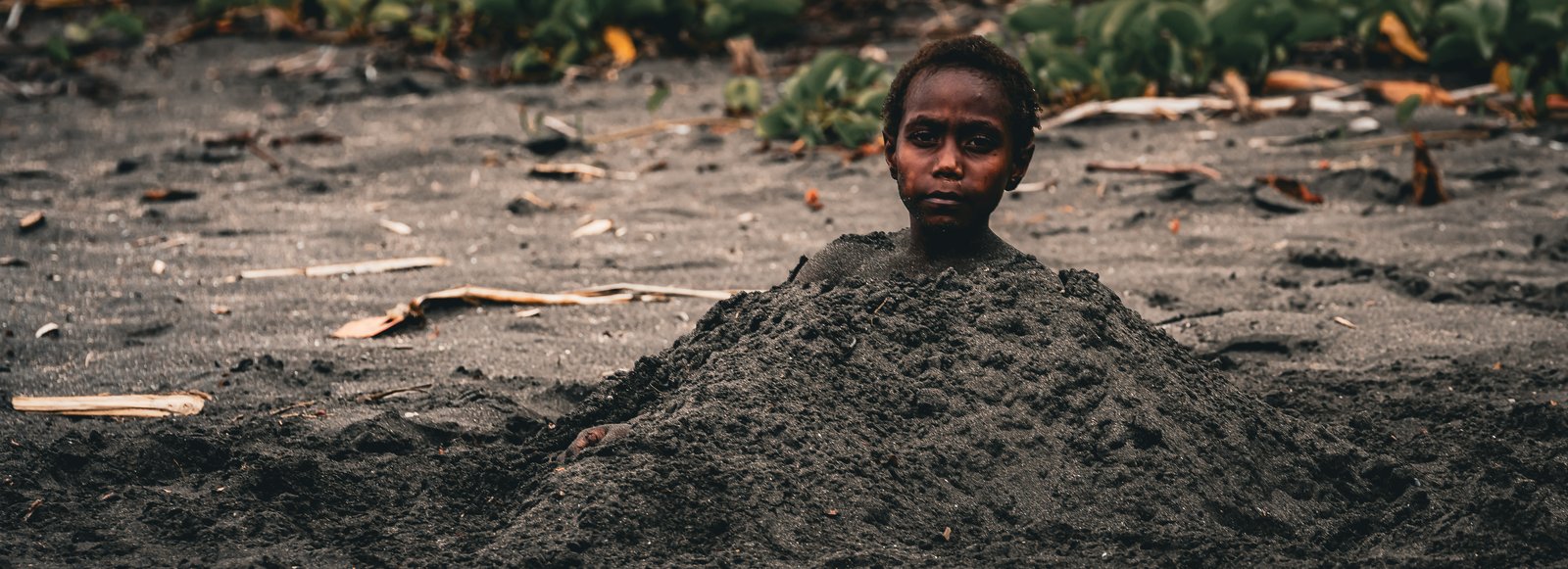
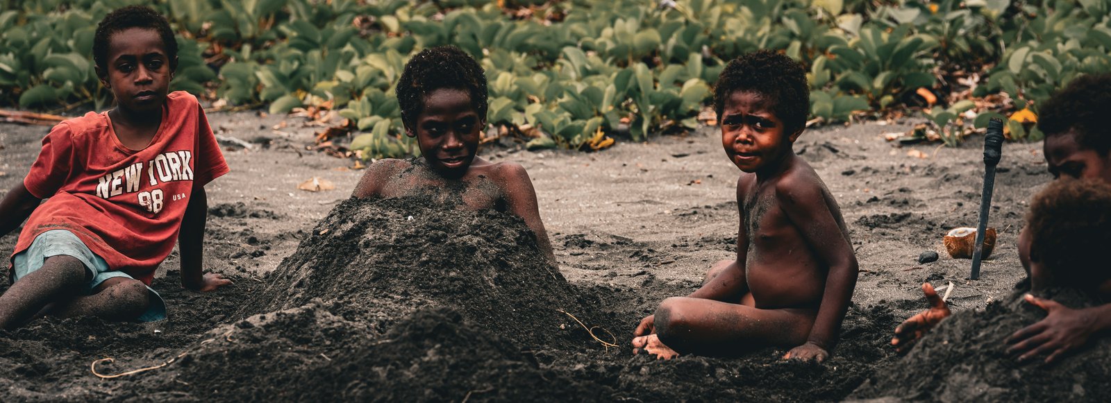
Once Cloud Nine was settled on her hook in Port Resolution, the next mission was to find a way up to the volcano and to have a look around while I was at it. I spent the morning walking through the village of Ireupuow and out to some of the beaches, and the colours were just amazing. That is one thing I can say about Vanuatu. It is very green, it is very colourful, and the people are friendly. There were kids everywhere, on the paths and in the puddles and down on the beach with surfboards bigger than they were, and it was really nice to see.
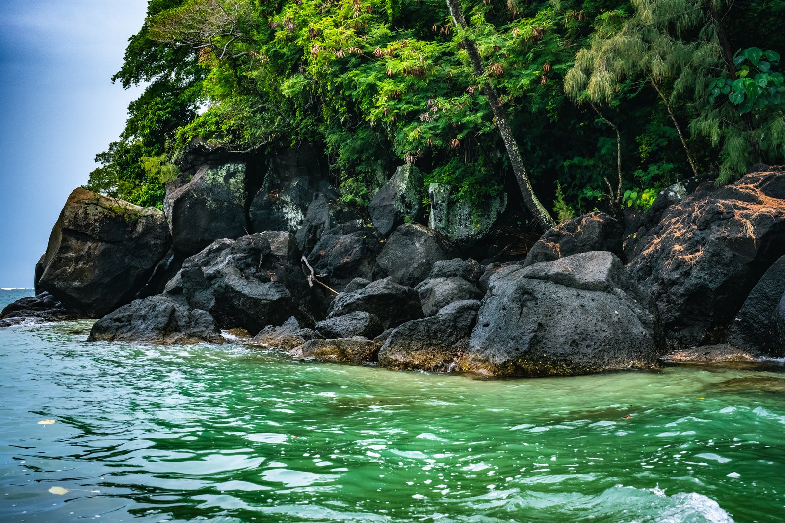
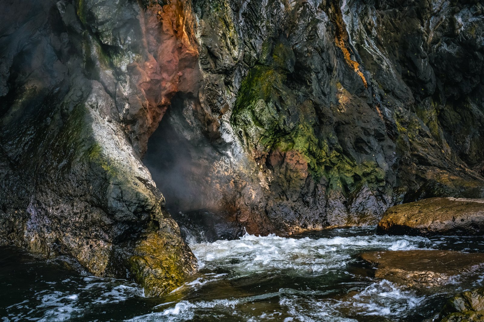
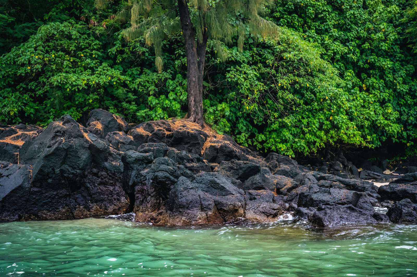
Left: black boulders and green water under the cliffs, Port Resolution. Right, top: a hot spring spilling into the sea. Right, bottom: the bush comes right down to the rocks.
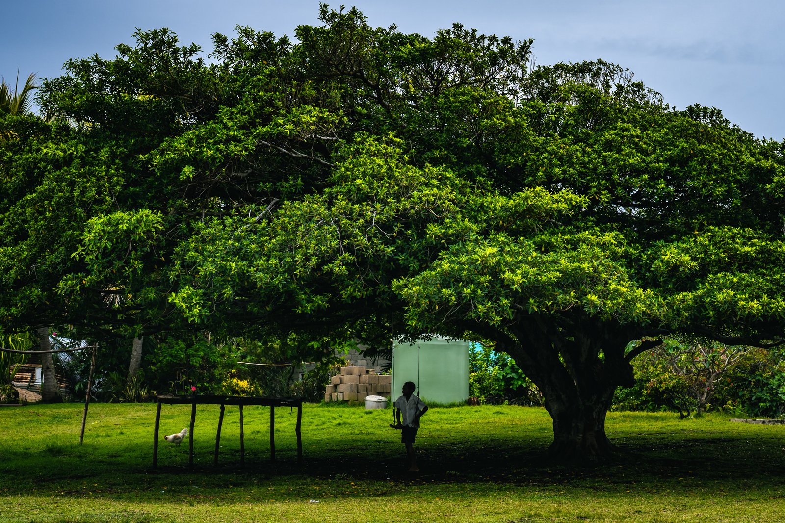
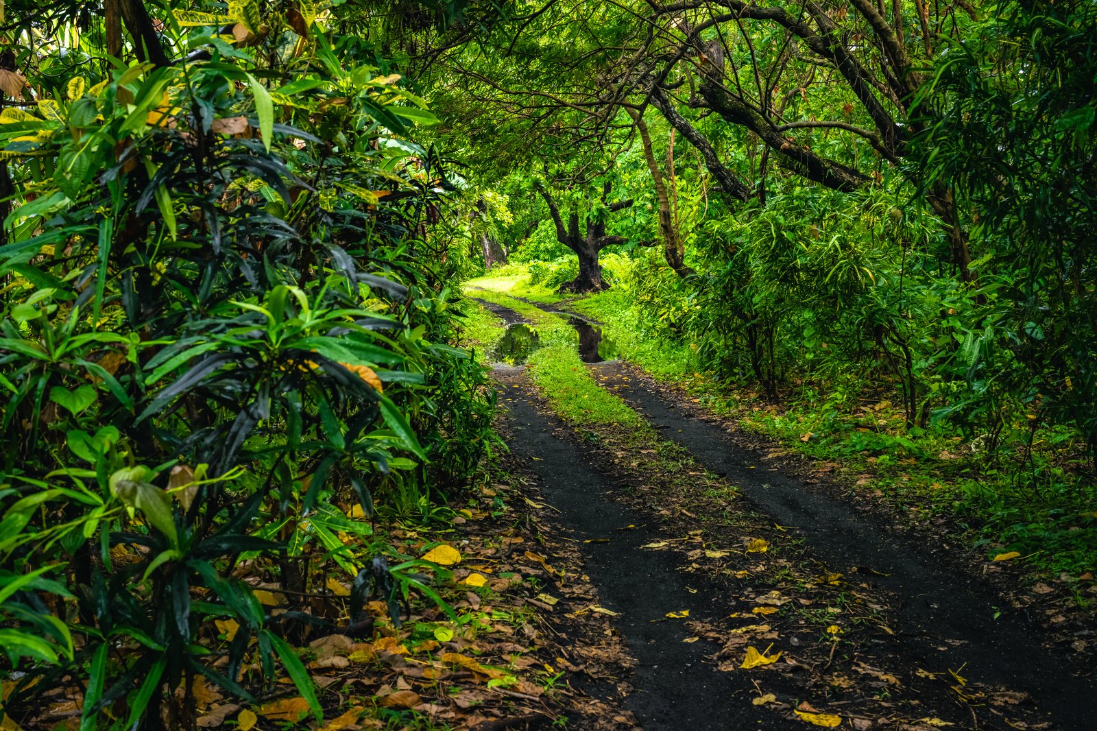
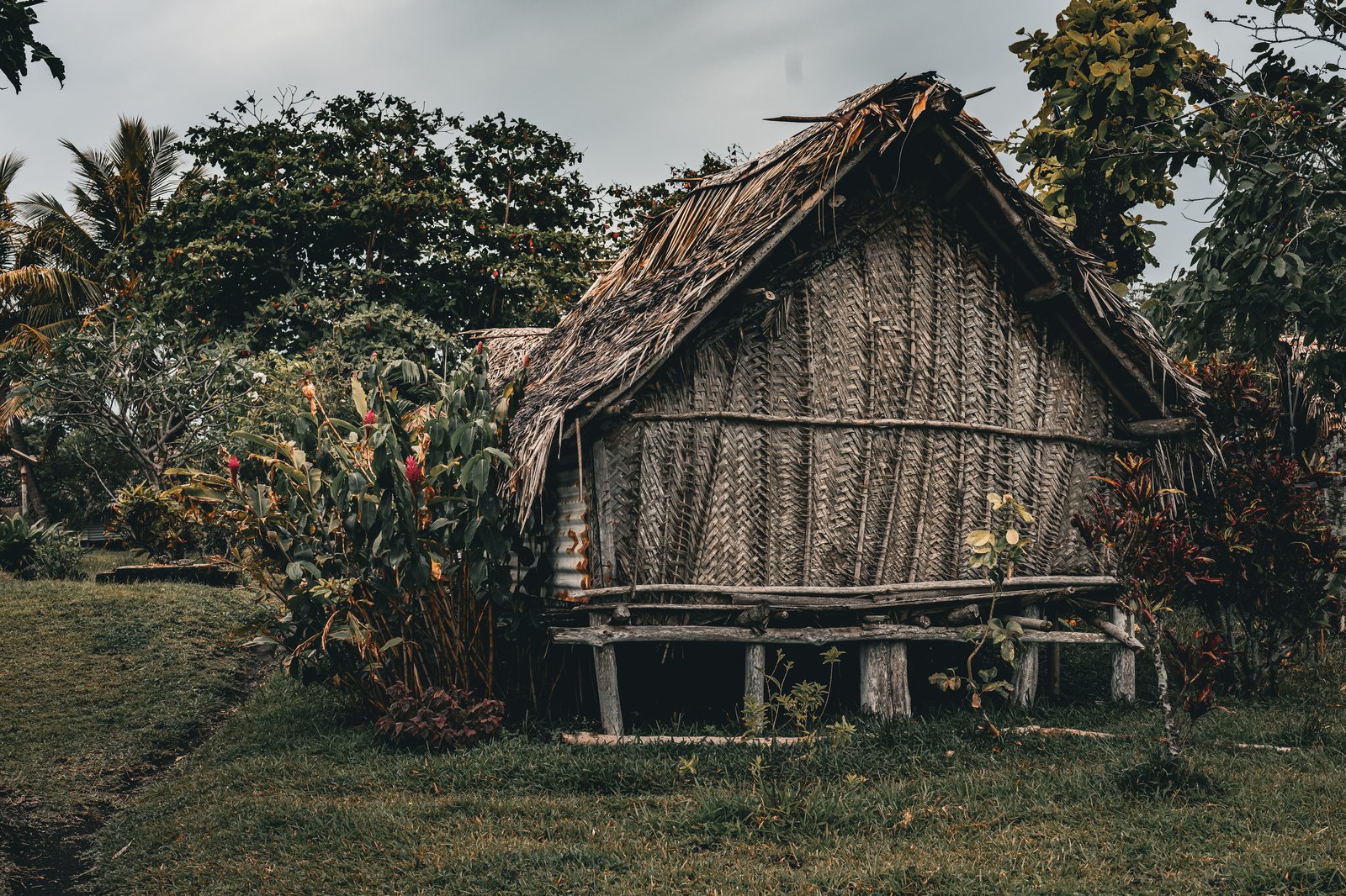
Left: the big tree on the green, Ireupuow. Right, top: a track through the bush, more tunnel than road. Right, bottom: a thatched house on stilts, woven walls.
Port Resolution has had visitors before. Captain Cook sailed in here on the 5th of August 1774, drawn in, so the story goes, by the glow of the volcano at night. Armed men lined the beach, and Cook had muskets fired over their heads before he landed. He stayed two weeks, took on wood and water, had several of his crew sick on the local fish, and had his astronomer put a thermometer in one of the hot springs, which read eighty eight degrees. On the 19th a marine on sentry fired at a man he believed was about to loose an arrow at him, and killed the man standing beside him instead. Cook had the marine taken prisoner, sailed the next day, and named the harbour after his ship.
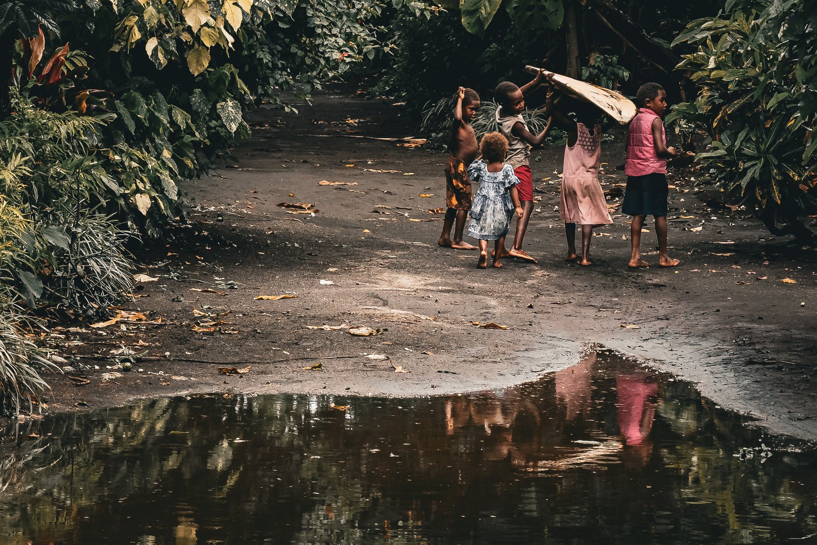
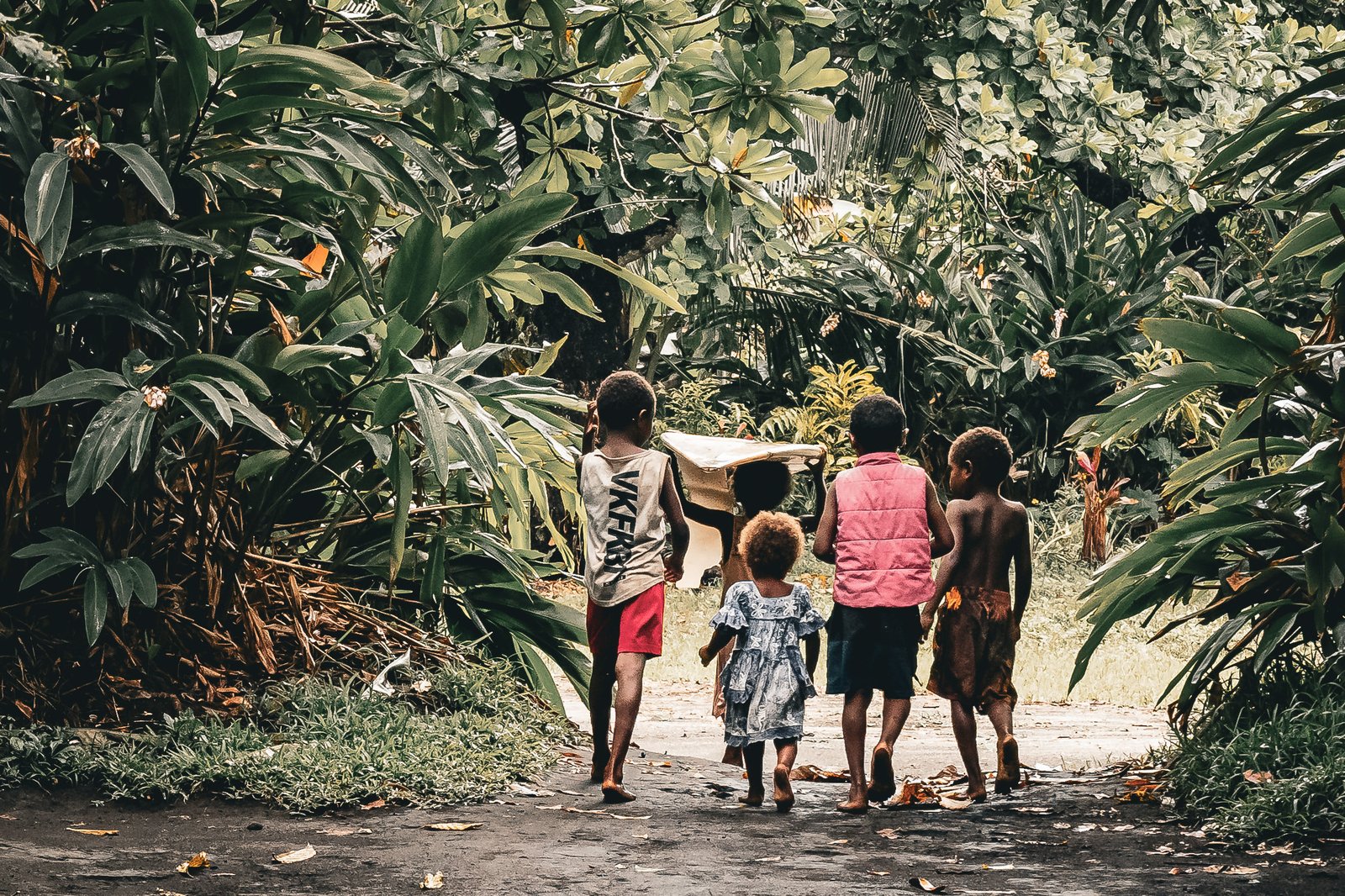
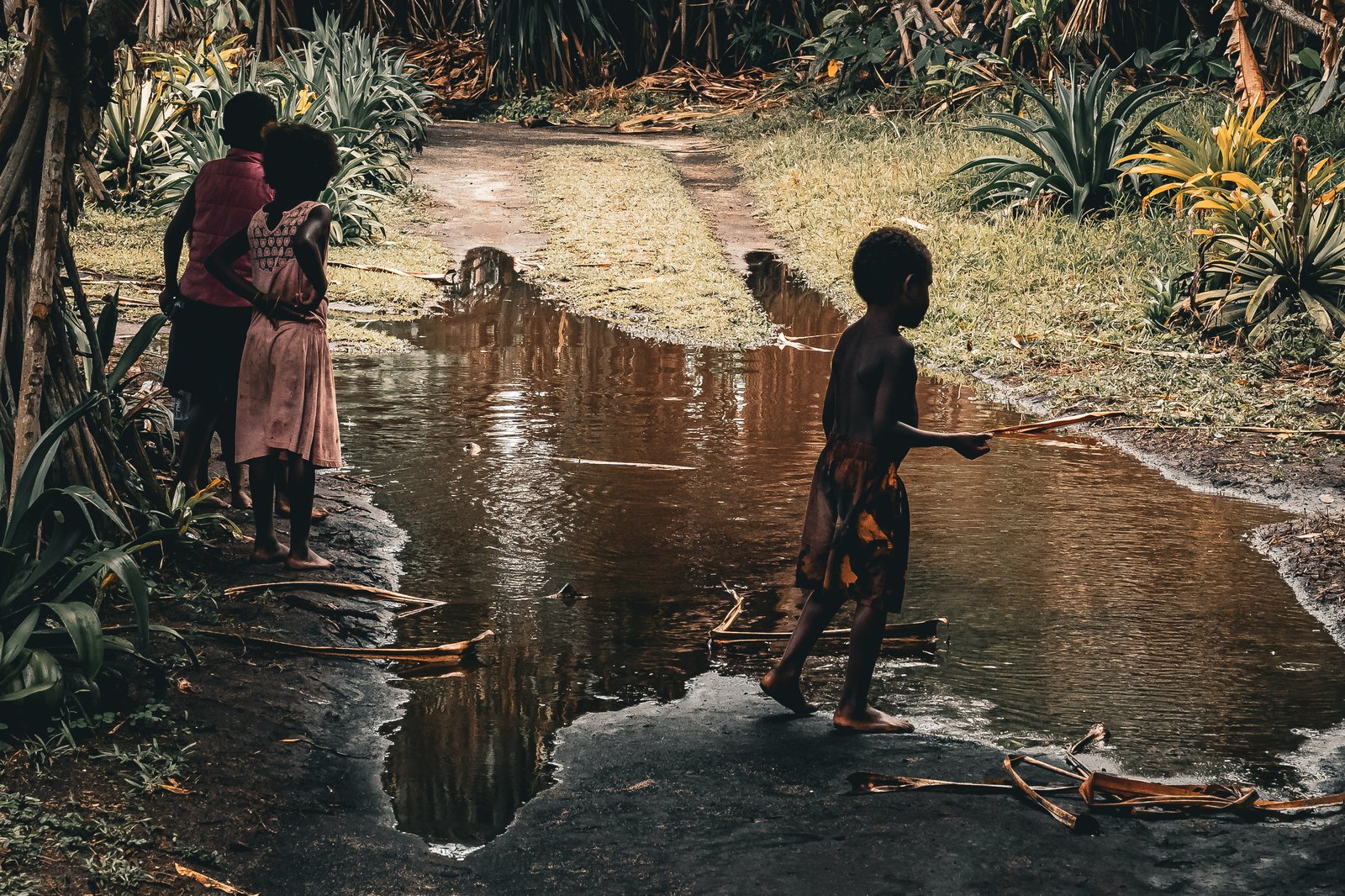
Left: kids on the village road, one of them carrying a palm frond. Right, top: off down the path together. Right, bottom: puddle crossing.
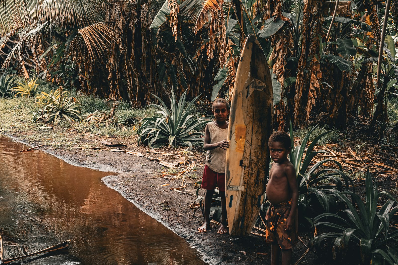
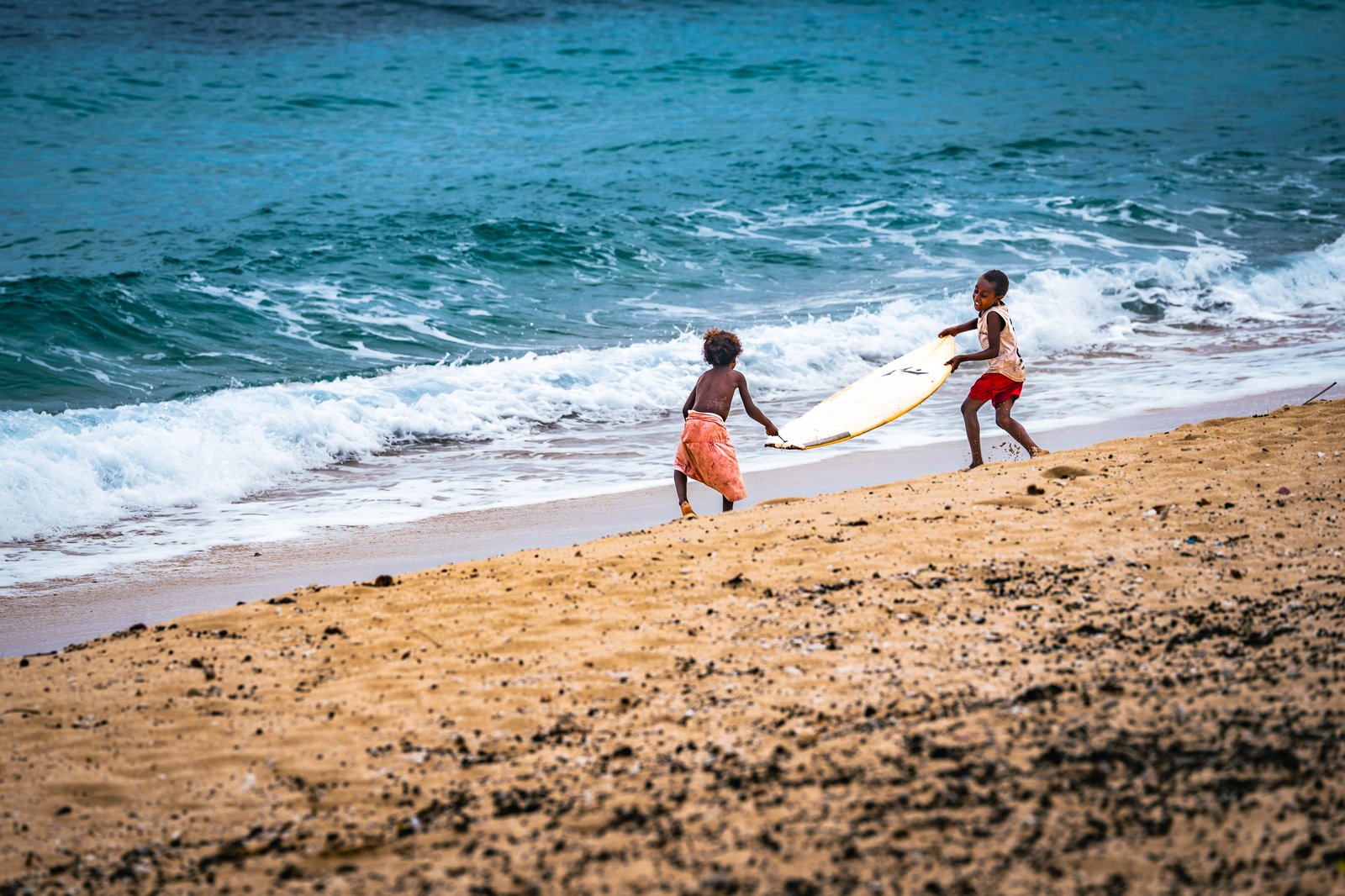
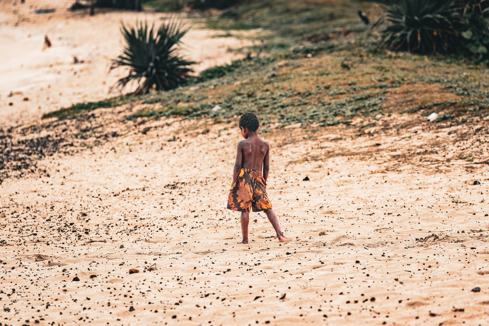
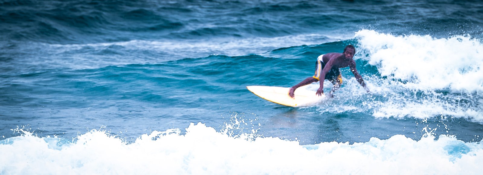
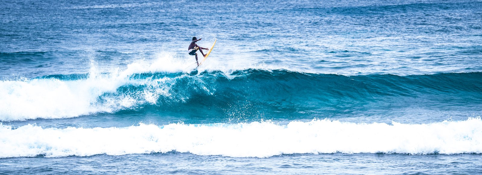
Left: two boys and a surfboard taller than both of them. Right, top: dragging the board down to the water. Right, bottom: heading back up the beach.
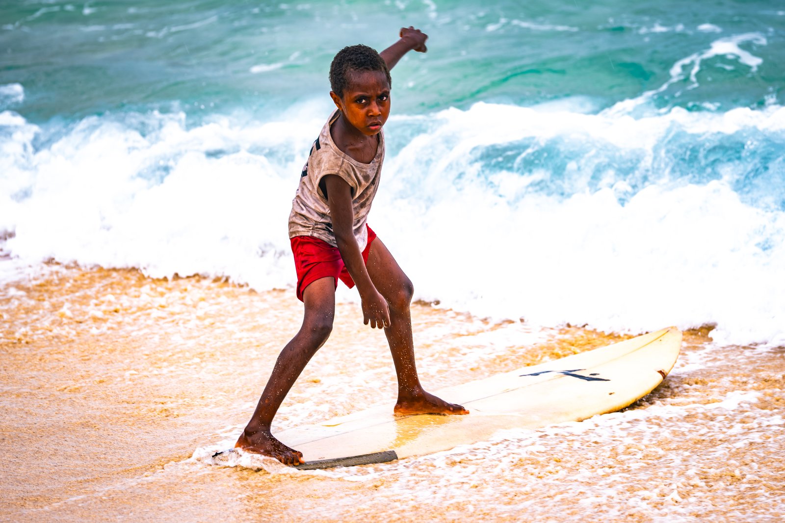
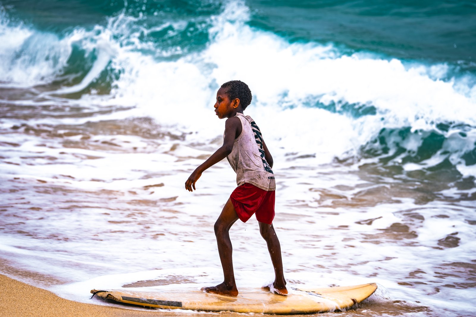
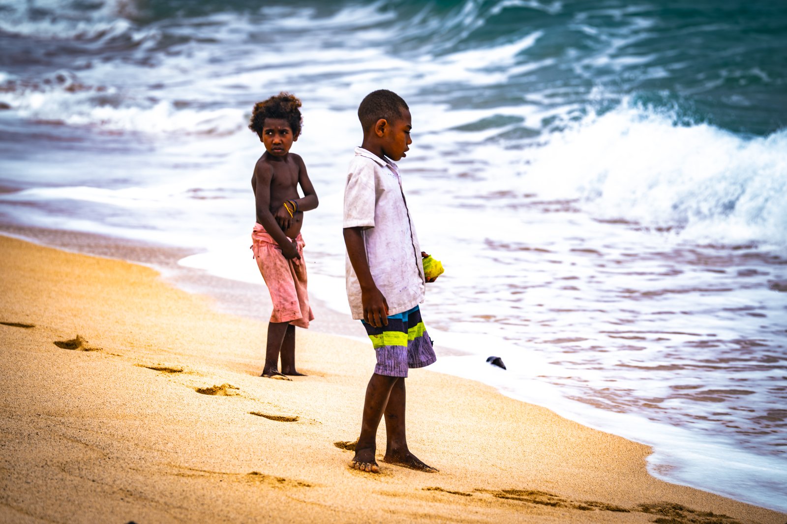
Left: arms out, board in the wash. Right, top: standing up in the shore break. Right, bottom: watching the surf.
The ones who came after did not fare much better. The Presbyterian missionary John Paton settled here in November 1858. His wife and infant son died of malaria within months, a measles epidemic in 1861 killed about a third of the island, three hurricanes followed it, and when war broke out between rival groups in January 1862 he fled overland and left. Tanna would not have him back. In 1865 the British warship HMS Curacoa bombarded Port Resolution, and Paton's part in it cost him a good deal of support at home. Through those same years the labour recruiters were working these islands, taking men by persuasion and by force to the cane fields of Queensland and Fiji, and in 1906 Britain and France settled the question of who owned the New Hebrides by agreeing to share them. That arrangement lasted until 1980, when the country became Vanuatu. The ground has moved too. In January 1878 an earthquake lifted the western shore, threw a ledge of coral up above the high water mark just past Cook's best anchorage, and left the whole port about a fathom shallower than his charts said it was. We anchored in what was left of it. It is still a good anchorage.
For the afternoon I had arranged with a local named Donovan to go and see the volcano. The idea is to get up there just before the sun sets and watch what happens as the light goes. Most people drive, and it takes about an hour. Donovan had a different plan. He was going to have us walk, myself and a couple from Uruguay, which sounded great right up until I did the math. If it was an hour up by truck, I could not see how we were going to get there on foot in time to see anything. The weather was not cooperating either. It was raining everywhere.
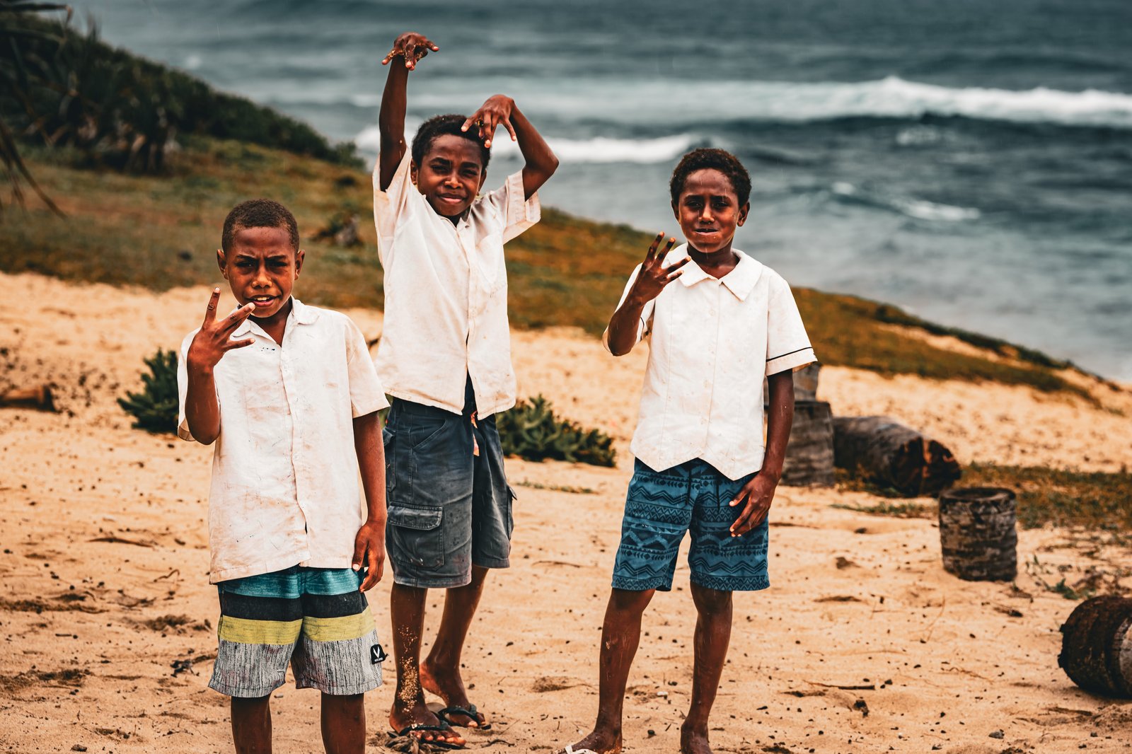
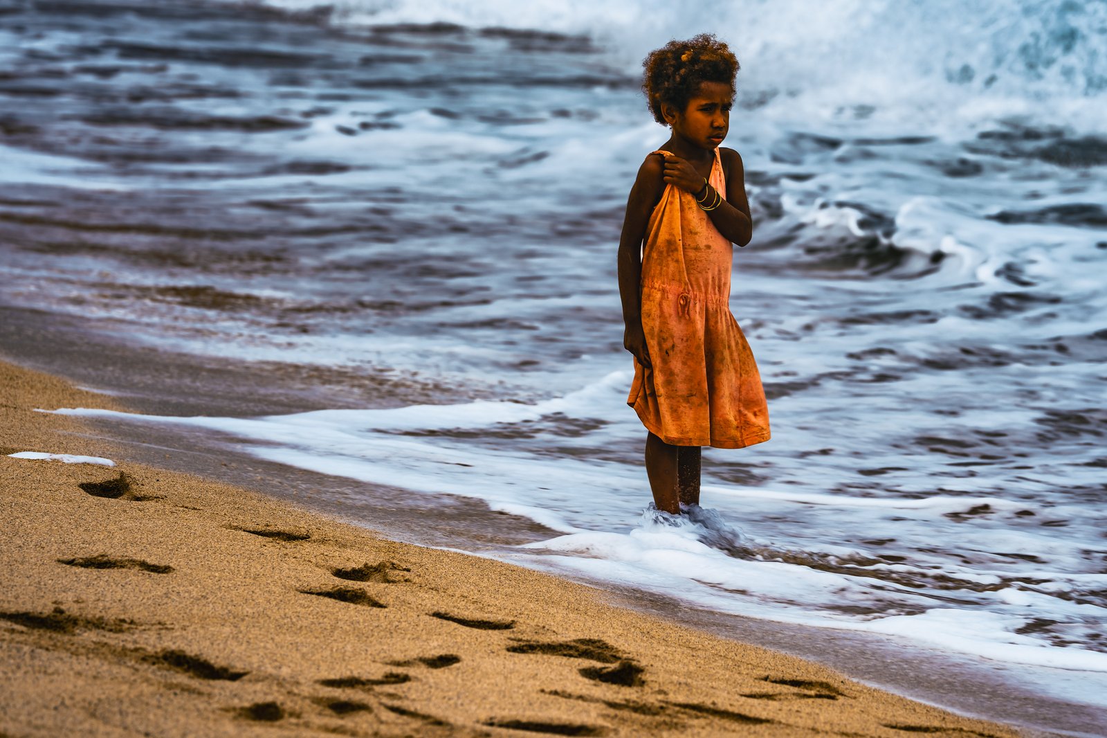
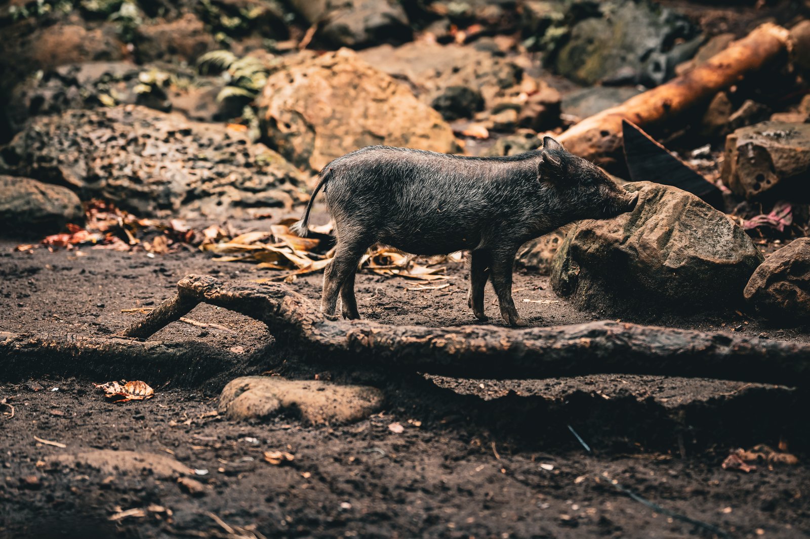
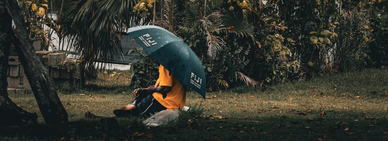
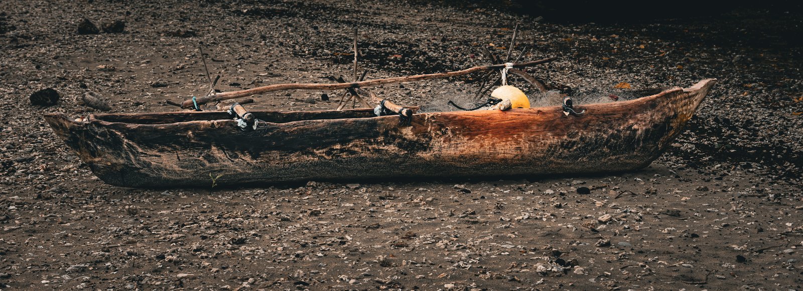
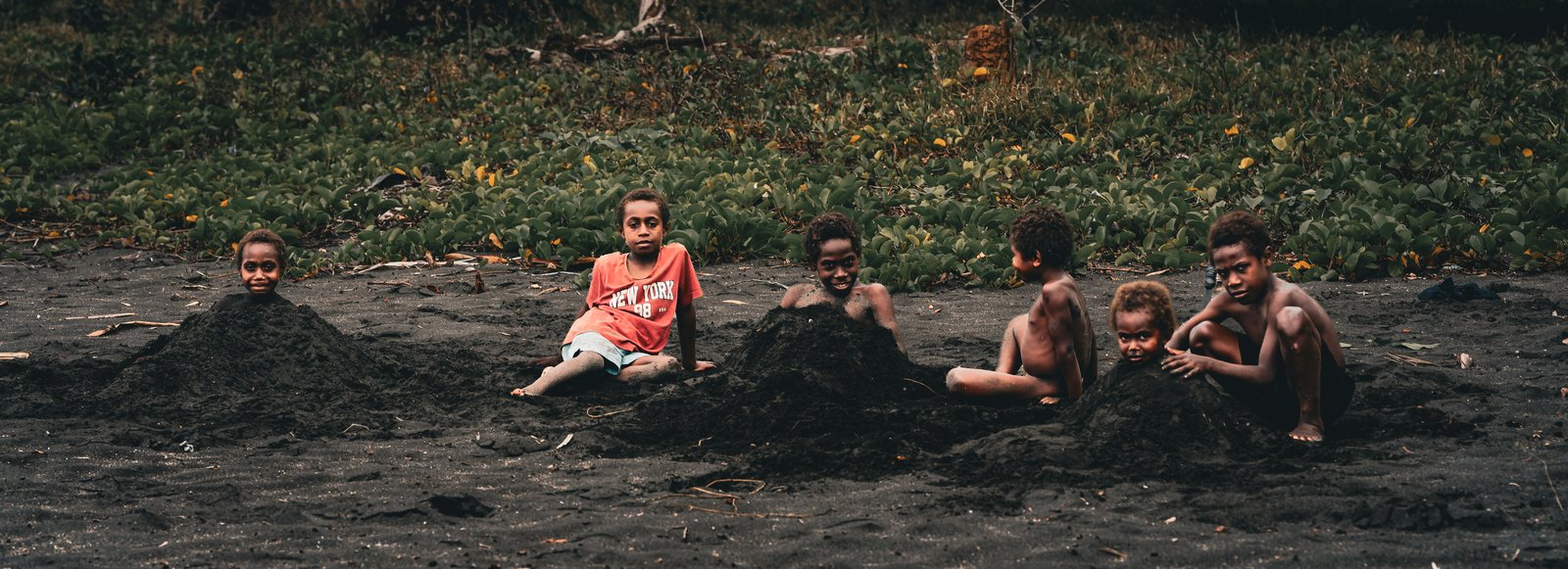
Left: three boys, three poses. Right, top: a girl in an orange dress at the water's edge. Right, bottom: a village pig on the rocks.
So instead of running complicated calculations in my head and leaning into doubt, I looked at the situation and said, you know what, worst case scenario we go for a nice wet hike in a tropical rainforest. Maybe we do not see the volcano today, or not with the best views, and I can go and do that tomorrow. That settled it.
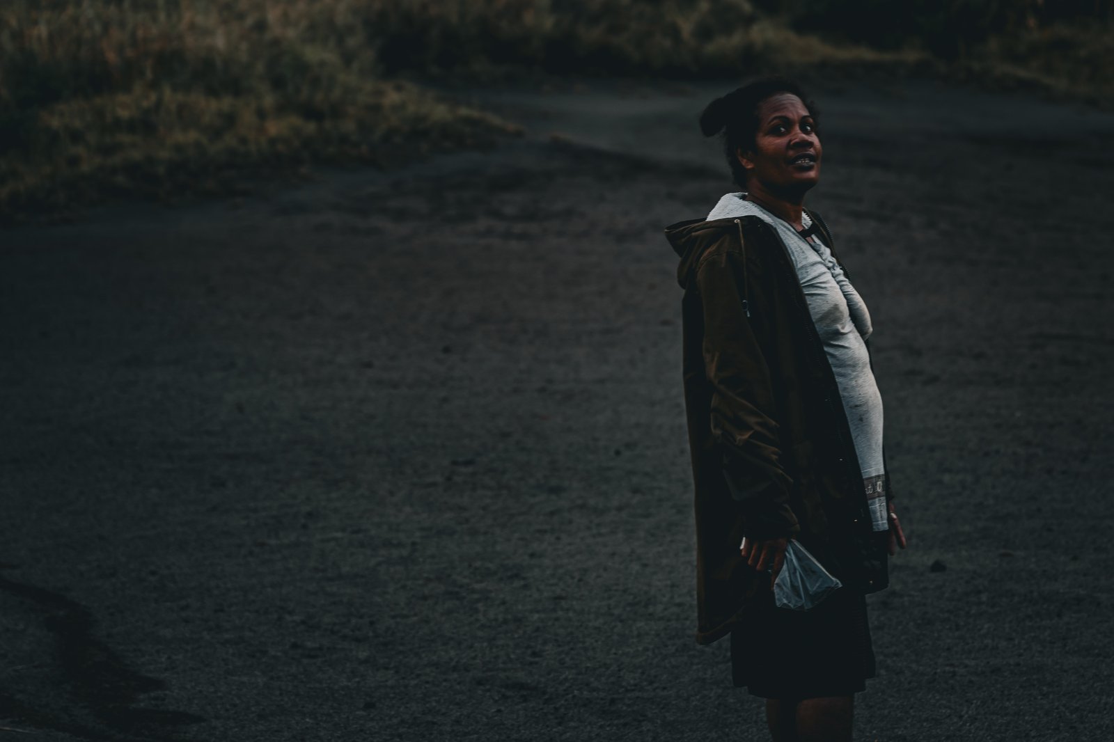
There were four of us in the end, myself, the Uruguayan couple and Jocelyn, Donovan's partner, who led the way. Jocelyn was amazing. She did the whole thing in bare feet and never missed a beat, stopped to climb a tree and bring down coconuts for us, and knew every switchback and every turn in the trail. After two hours we came out to some beautiful views of the volcano.
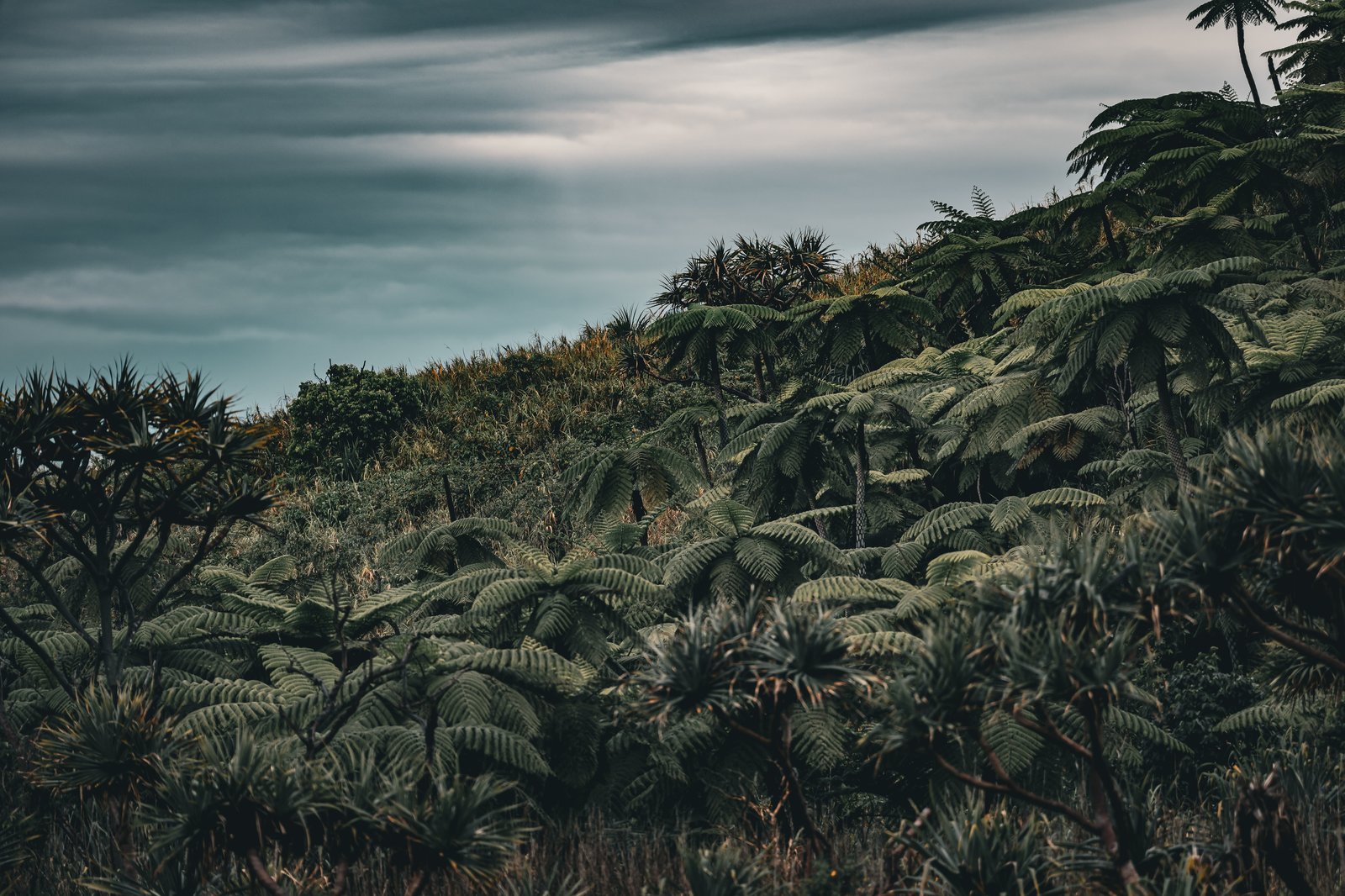
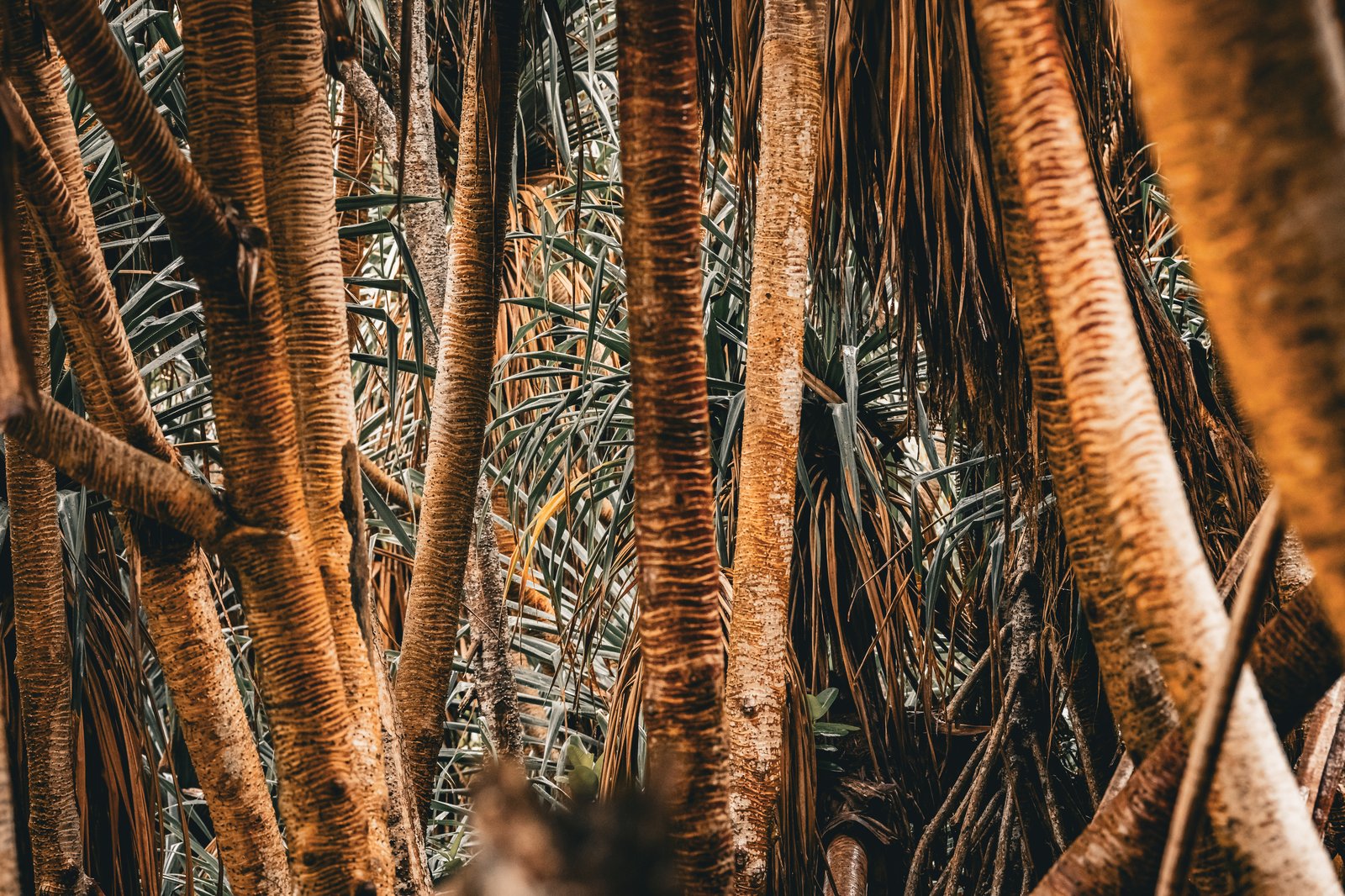
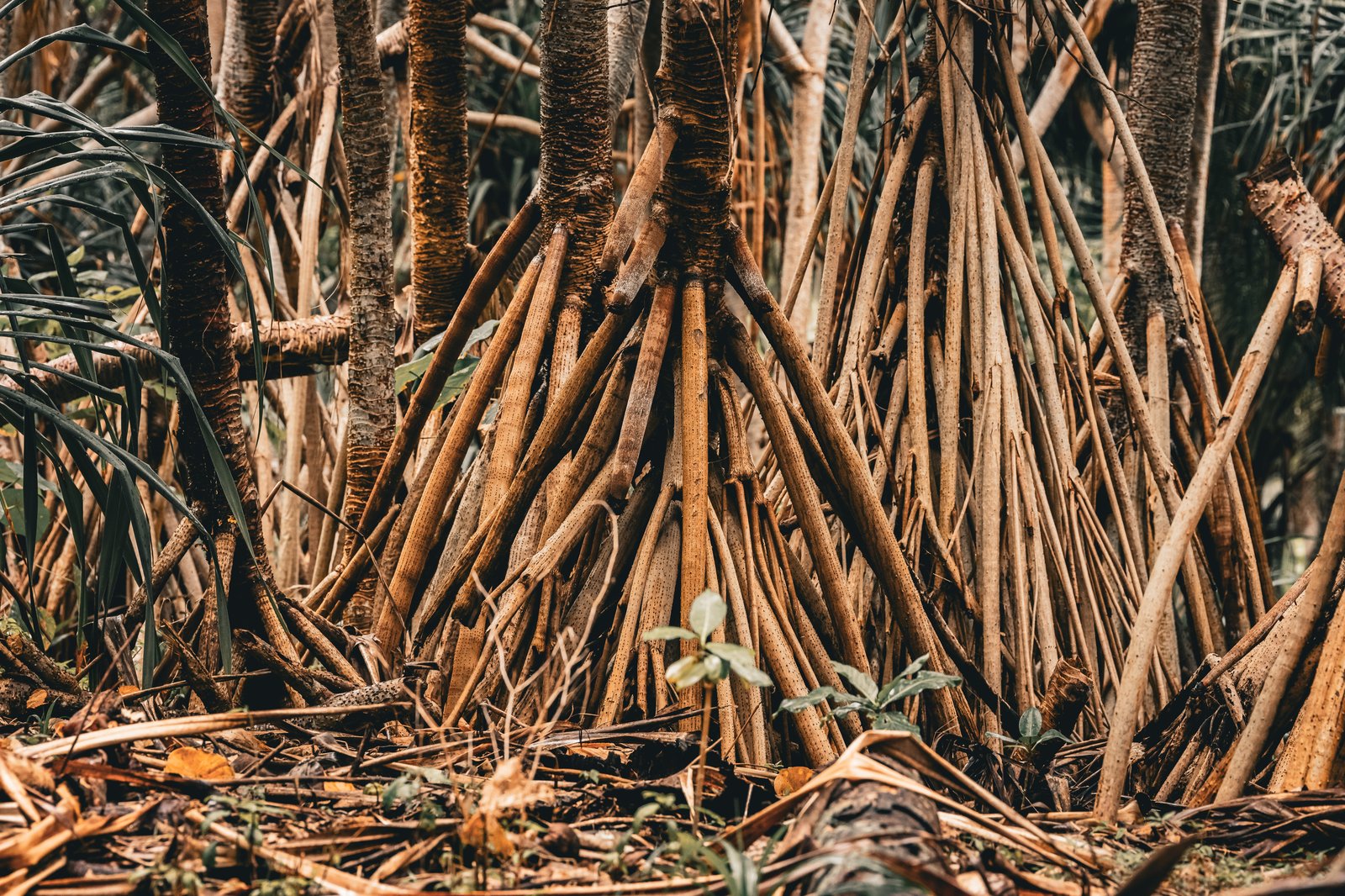
Left: tree ferns on the way up. Right, top: pandanus trunks. Right, bottom: pandanus roots, a whole forest standing on stilts.
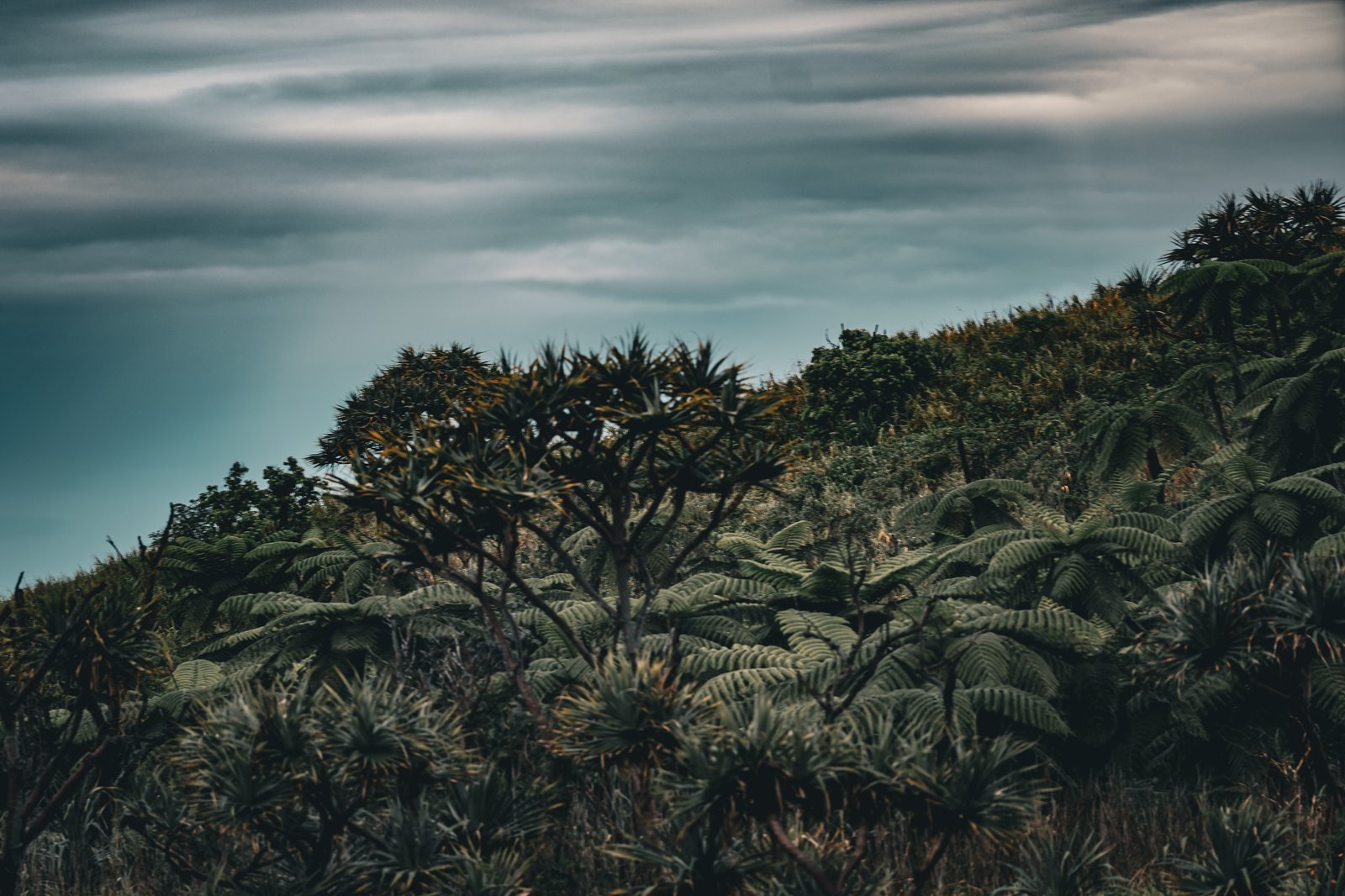
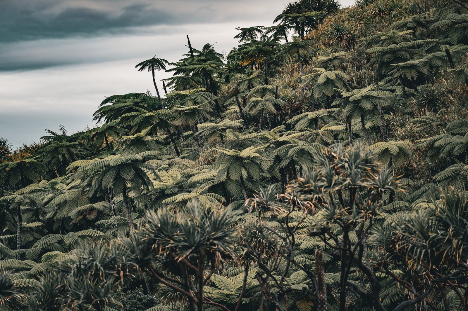
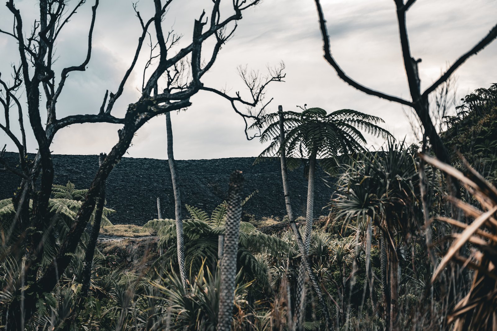
Left: tree ferns and grey sky near the top of the trail. Right, top: more fern, more rain. Right, bottom: bare trees at the edge of the ash.
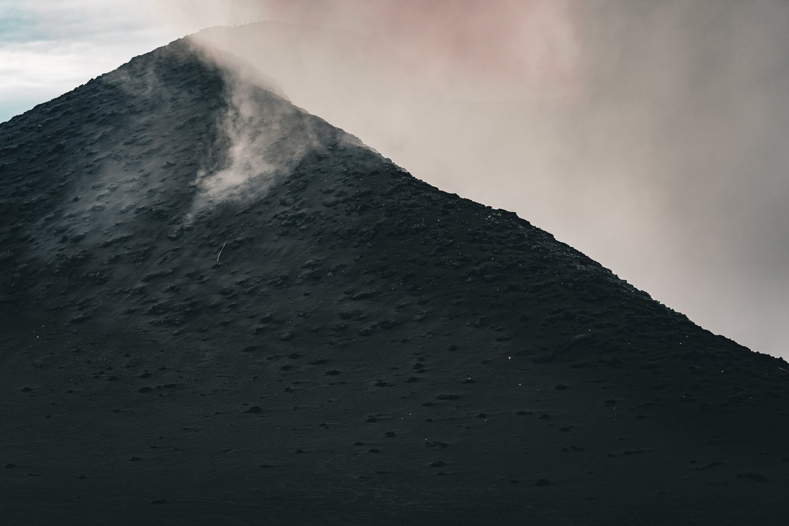
The volcano is Mount Yasur. The name comes from the local word for volcano, which suggests nobody here ever felt the need for a second one. It stands three hundred and sixty one metres above the sea and has been erupting more or less continuously for centuries, which is why it gets called the lighthouse of the Pacific, and it is sacred ground on Tanna. The followers of John Frum believe he lives inside it, along with his countrymen. John Frum is usually pictured as an American serviceman, and the movement goes back to at least the late 1930s, when his message told the people of Tanna to turn away from the missionaries, the money and the plantations and go back to kastom. Then the war brought some fifty thousand American troops to these islands, and a great deal of cargo with them, and afterwards his followers cut landing strips in the bush to bring the planes back. Every year on February 15, the day they believe he will return, the faithful still parade at Lamakara, near Sulphur Bay. There are fewer than five hundred of them now. They are still waiting.
As we climbed, the sounds got louder and louder and it felt like walking into Mordor. The last half kilometre was moonscape, and then it was fifteen minutes of steep climbing to get up onto the rim. All in all, a decent amount of effort. Not horrendous.
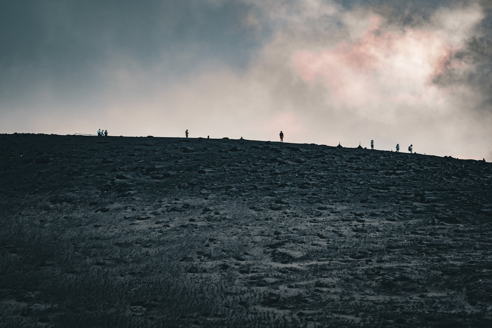
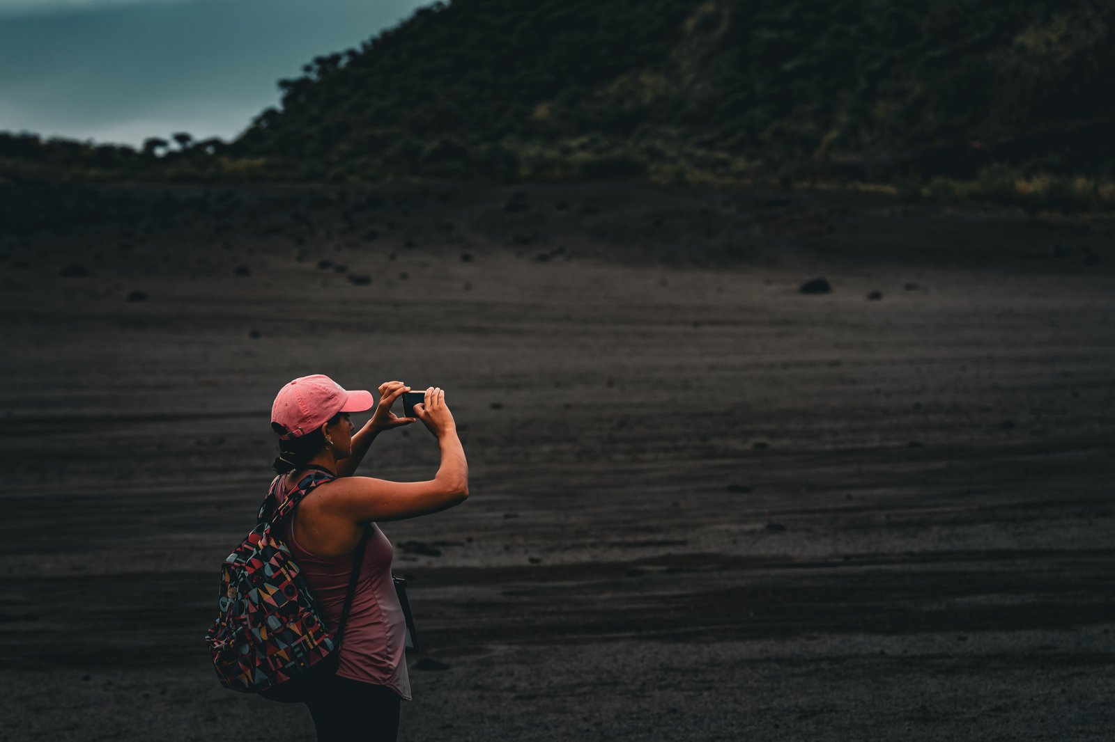
Left: figures on the rim, small against the sky. Right, top: getting the shot on the ash plain. Right, bottom: looking up toward the noise.
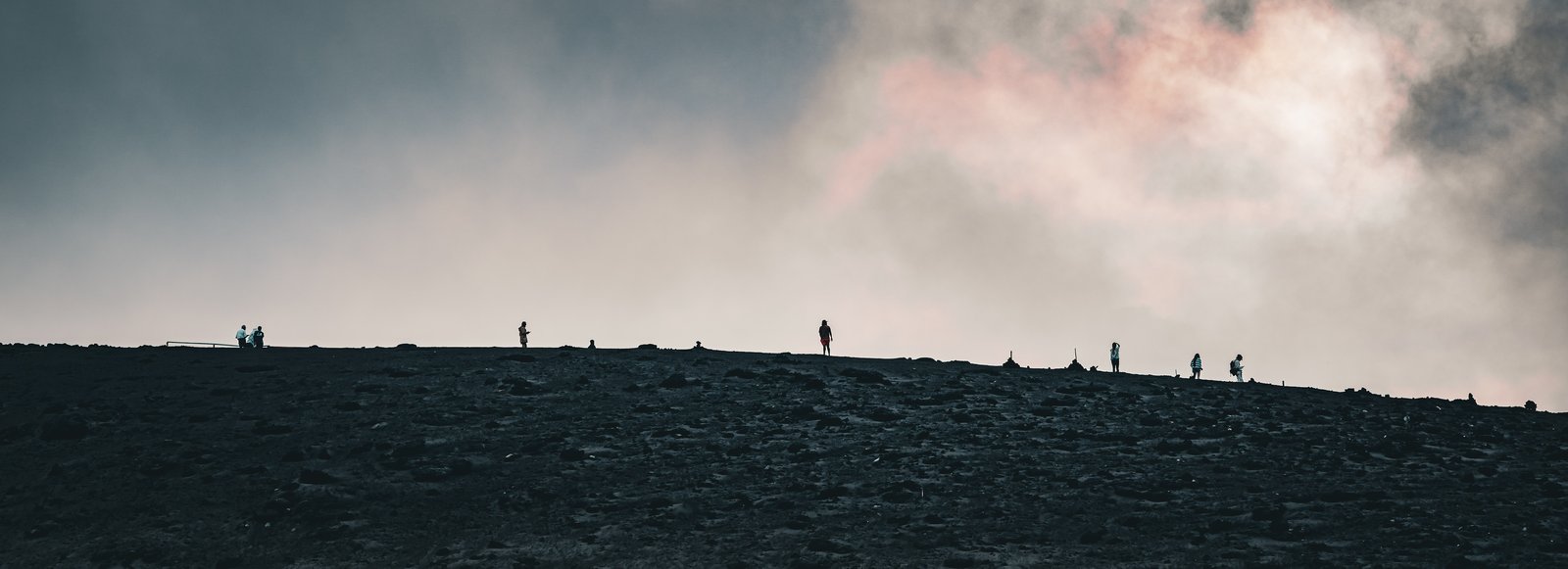
Near the top you could smell the sulphur, and the steam would roll over you. It felt like rain, except the rain had some heat in it. It took me a moment to realize we were walking through an ash cloud and the particles were falling on us. I was a little uncomfortable with that, so I just kept walking until I was through it. Later on I found that some of those pieces had actually burned into me, and I was pulling them out afterwards. It did not hurt much. It was interesting to watch.
At the top we joined everyone who had driven up, and we were all treated to these huge sounds coming out of the belly of the mountain. It was the loudest natural sound I have ever heard in my life. The volcano made it very clear that it was mad we were standing on top of it, and that it was going to let us know about it. The gods had spoken. Loudly, and more than once.
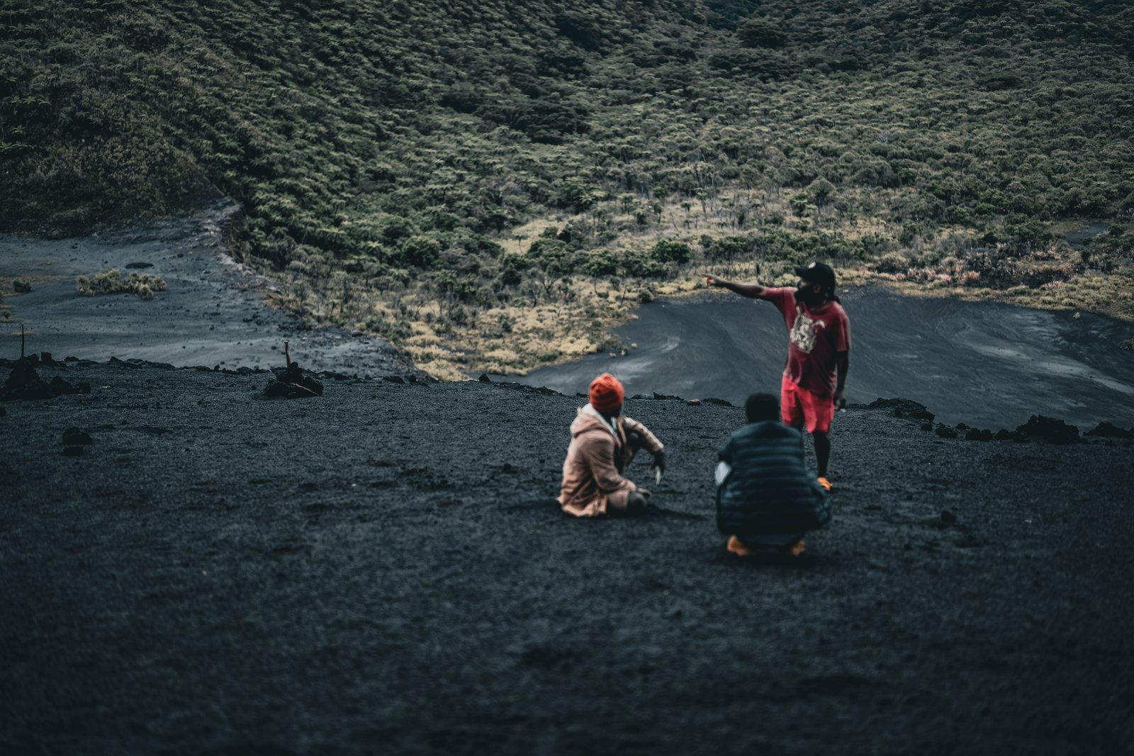
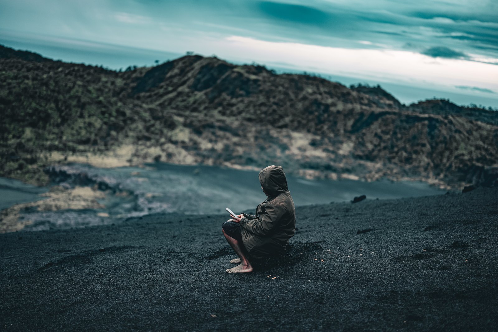
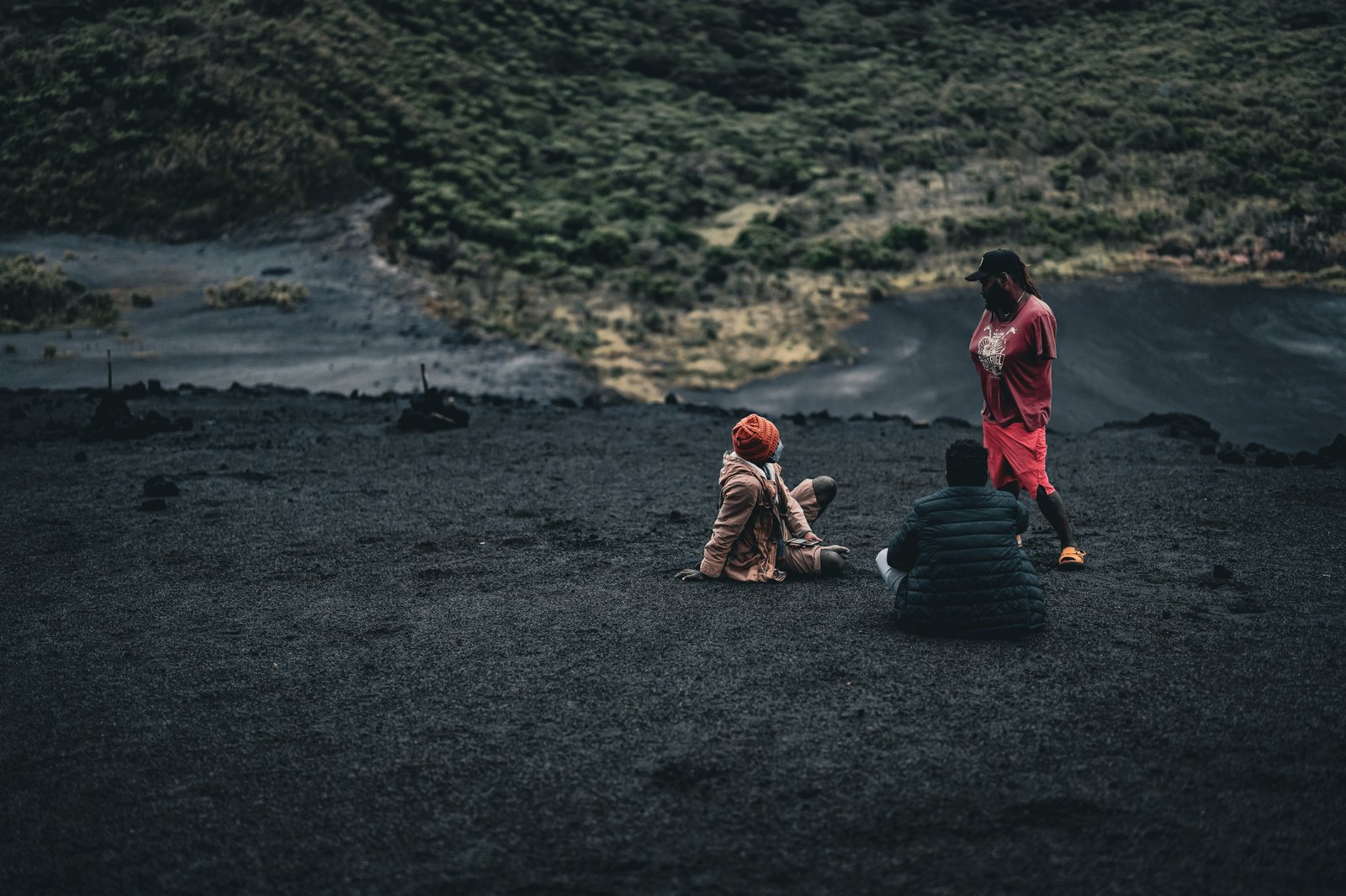
Left: waiting on the rim for dark. Right, top: sitting out the wait. Right, bottom: the view back off the rim.
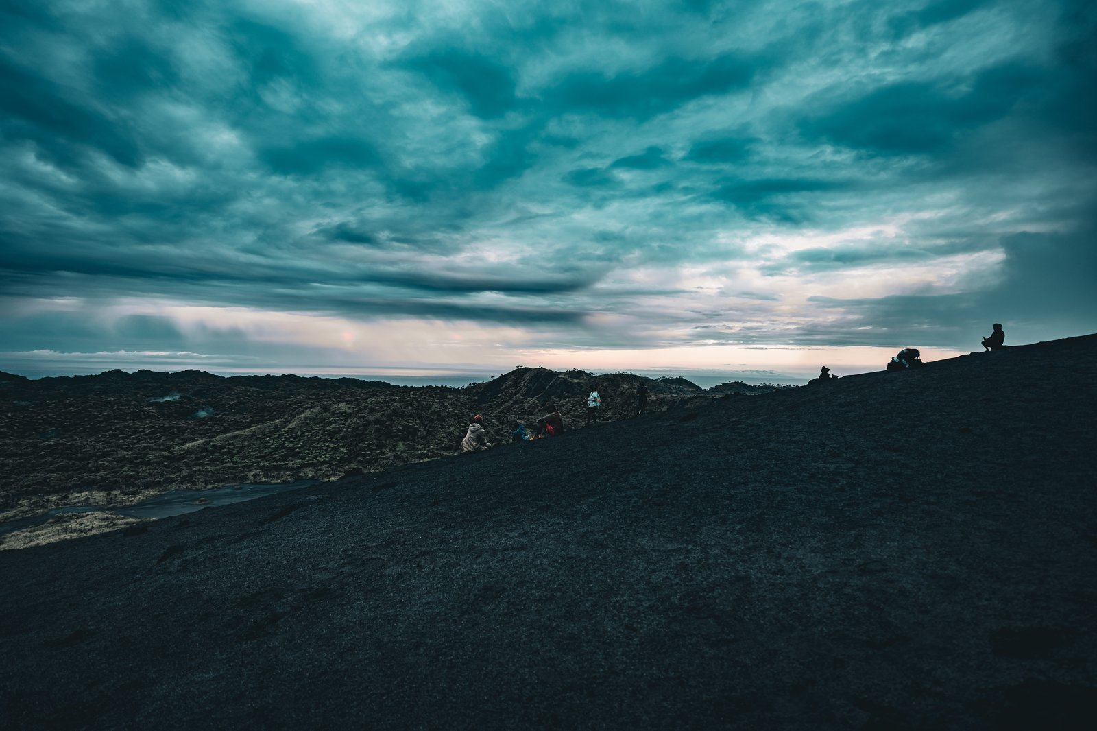
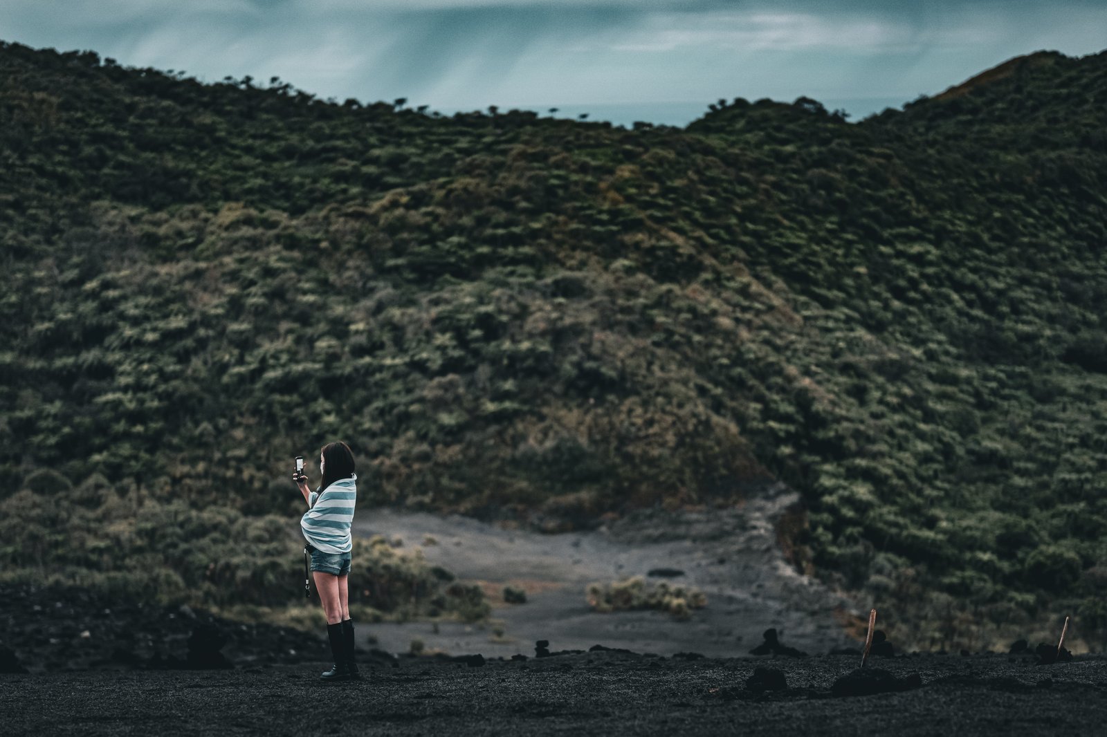
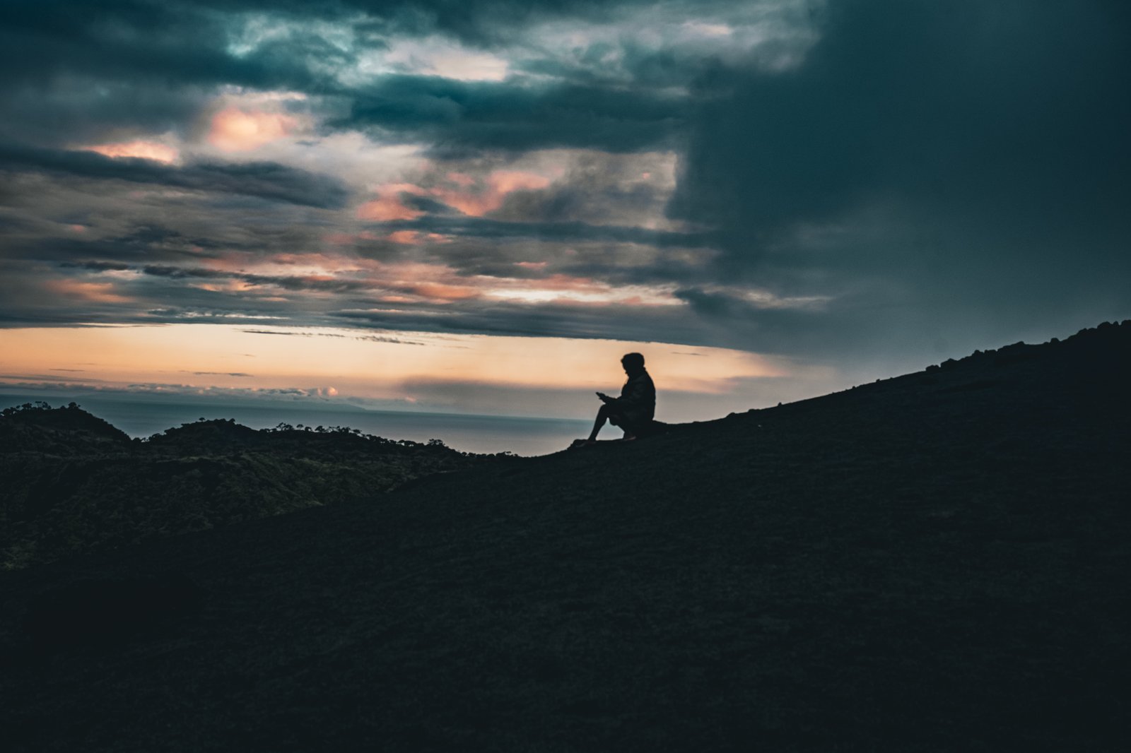
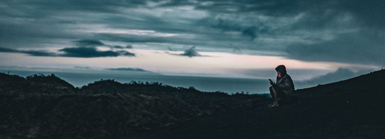
Left: cloud closing in over the rim. Right, top: a blanket and a phone, waiting for the light to go. Right, bottom: a lone silhouette against the last of the sunset.
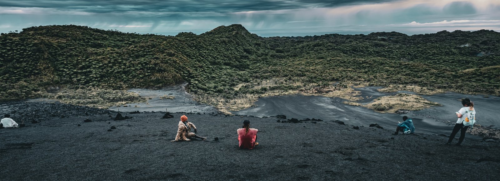
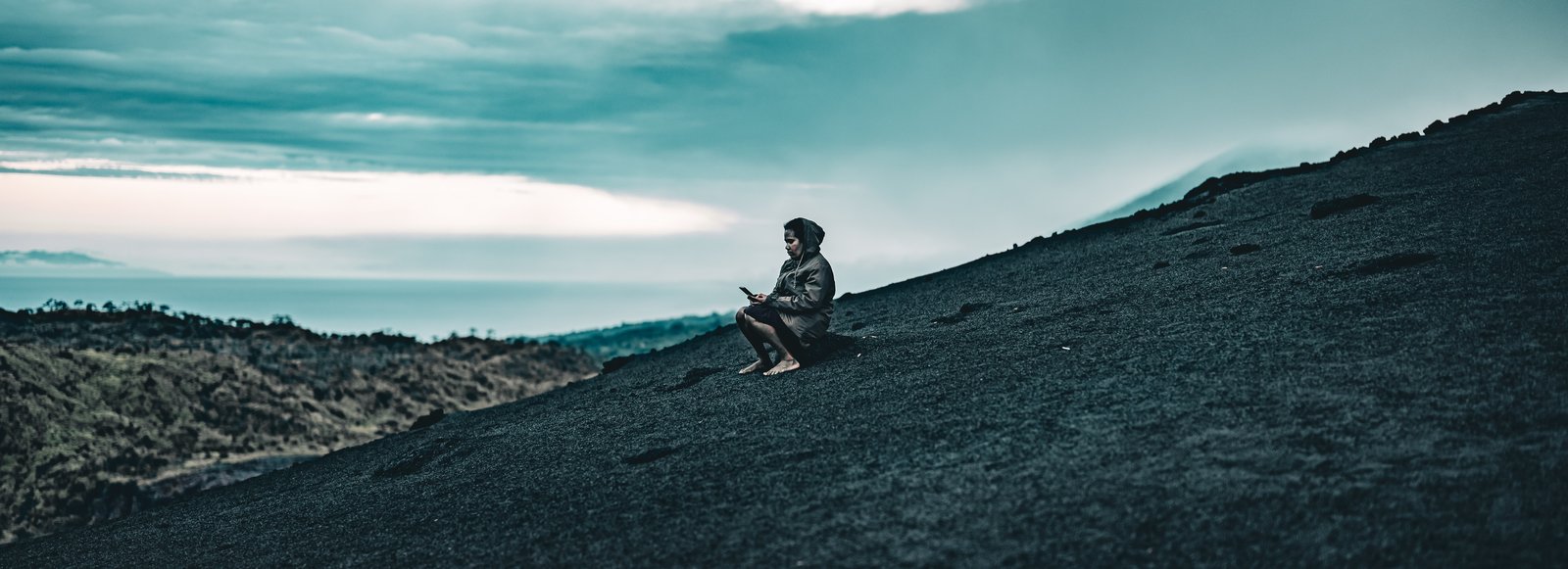
While it was still light, mostly what you could see was steam. With all the rain there was a lot of it, and you really could not see the red embers or anything like that. But as time passed and the sun went down, we were treated to an amazing fireworks show of embers coming up out of the crater. We could not have been closer. At the fence you were two steps from joining the bottom of the volcano, and you could easily have thrown anything you wanted down into it, with only a small rail to keep you back. I think everybody was quite taken aback by how beautiful and powerful the whole thing was. We stayed two or three hours, watching it go off.
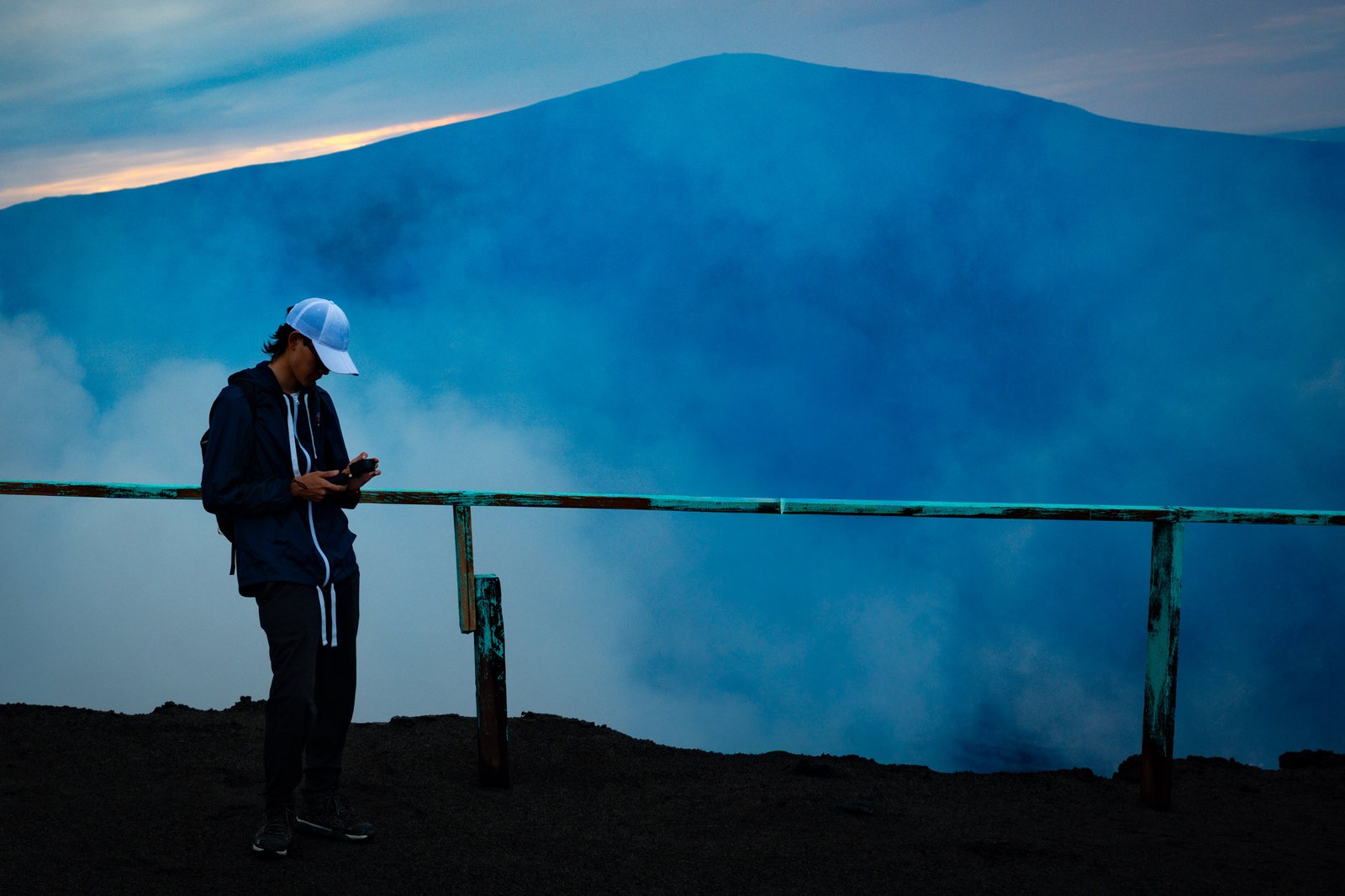
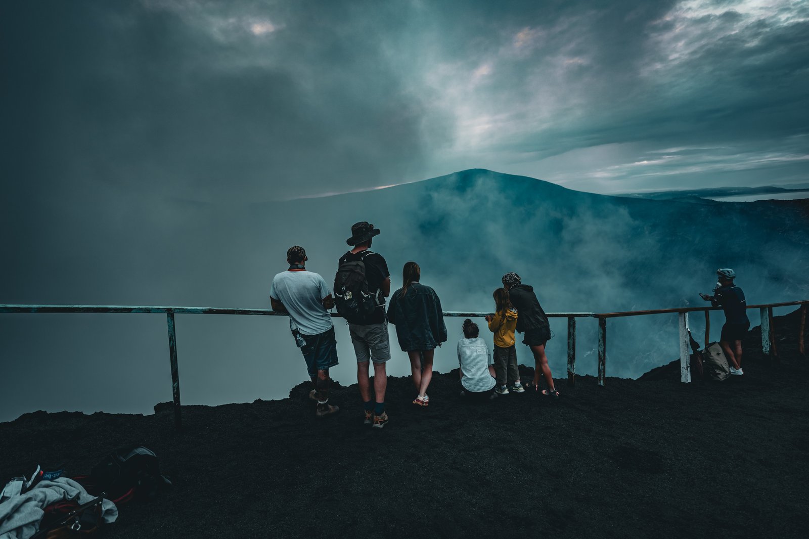
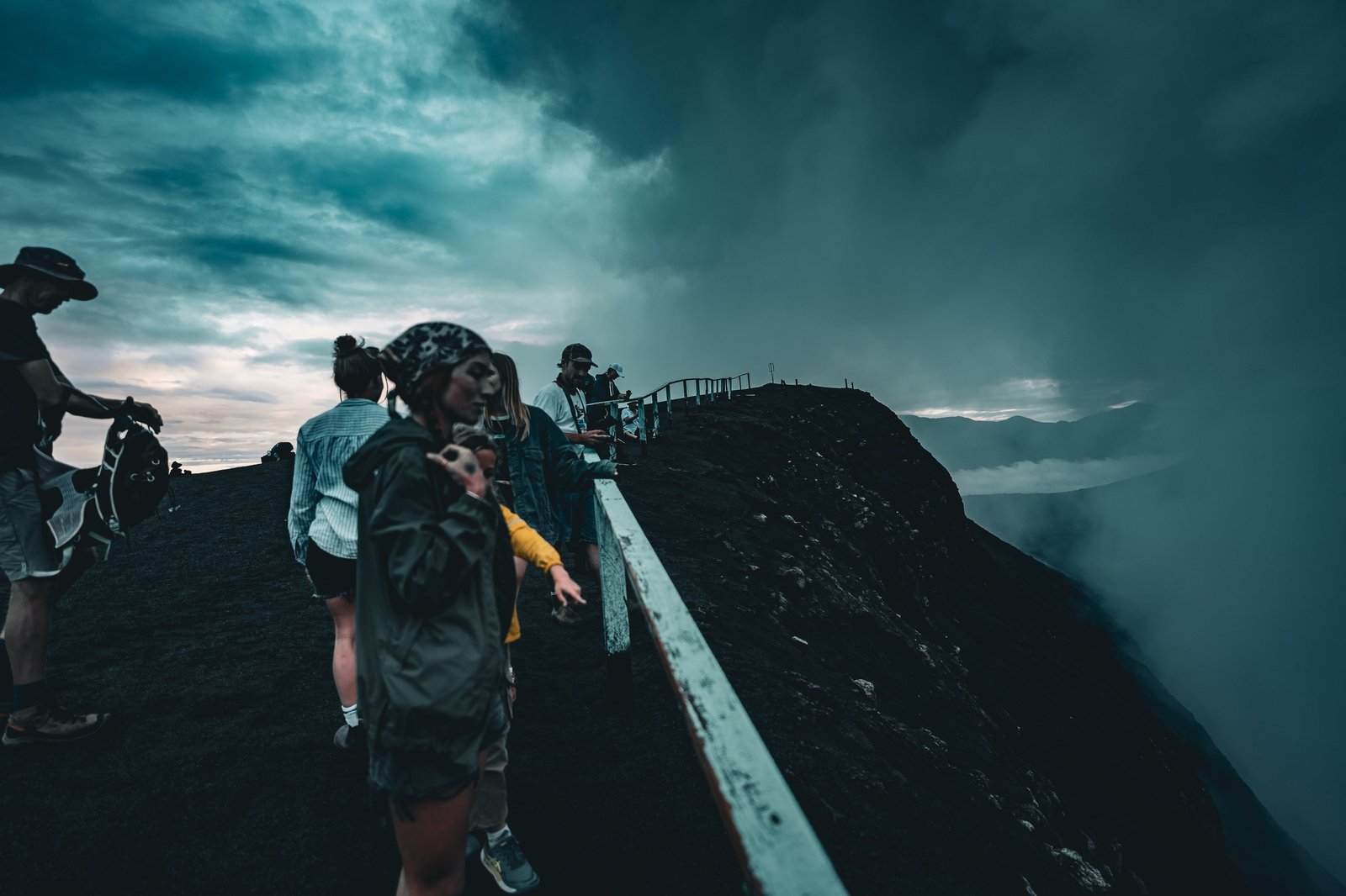
Left: blue smoke rising out of the crater at the fence. Right, top: the crowd along the fence. Right, bottom: along the rail at the edge, steam coming over.
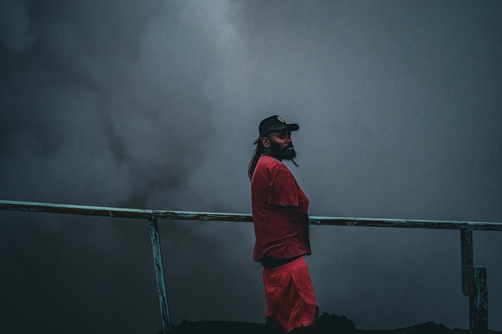
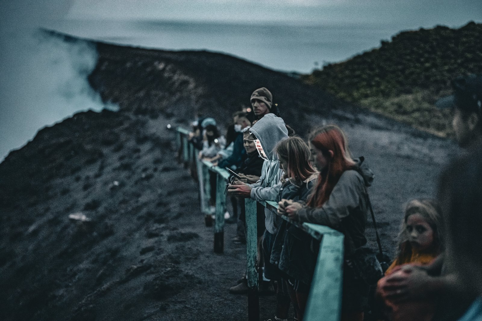
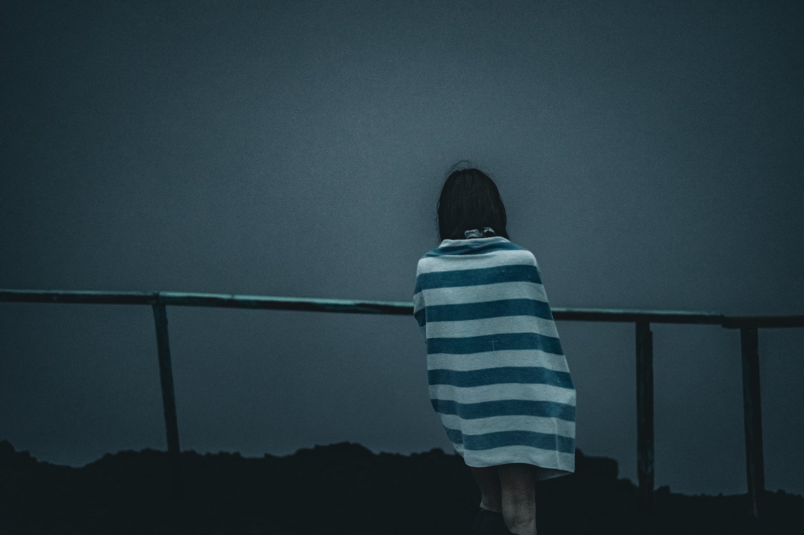
Left: at the rail, steam behind. Right, top: faces along the fence as the light goes. Right, bottom: wrapped in a towel at the rail.
Then it was time to head down, in pitch black, through the winding trails and junctions back to the boats. I am quite good at trail finding, and I knew there was no way I would have got myself back on my own. Fortunately we had Jocelyn, and she nailed it. She knew every step and had us down fast and back to the boats. I got home, had a couple of beers and some ibuprofen for dinner, and fell asleep immediately.
When I woke up it was decision time. Up to then the plan had been New Caledonia, which would give me a little more time to explore and put me a little closer for the shot at New Zealand, with a more accurate picture of the weather. Then we looked at the weather. There was a fairly decent storm coming on the 10th and another on the 13th, and between weekends and checking out of the country that would have left me more or less stuck in New Caledonia until they passed. So I changed the plan. Straight to New Zealand. I worked with the customs agents to get the right clearance papers, and by two in the afternoon we were off again, heading south at a nice clip of six to eight knots in fifteen to twenty knots of wind.
I am disappointed to miss New Caledonia, but when I leave New Zealand I will have another chance to get up there and see it, and I really feel like I need to see a lot more of Vanuatu as well. It is night now. We have dropped down to five or six knots in maybe ten knots of wind, with full canvas up and a very comfortable ride. Somewhere behind us the volcano is still talking. I am looking forward to what tomorrow brings.